| Date |
Distance |
Time |
Elevation Gain |
Average Moving Time |
Year to Date Miles |
|---|
| 5/15/2022 |
3.2 miles |
1 hour 53 minutes |
889' |
1.7 |
407 |
Parking:
- Lookout Trailhead, Lookout Road
Maps:
- 100 Favorite Trails of the Smokies and the Carolina Blue Ridge (for directions)
- Pisgah Map Co, Black Mountain (for navigation)
Directions:
- See 100 Favorite Trails map
Carolina Mountain Club Challenges:
- 100 Favorite Trails hike #81
I wanted to do a short "recovery" hike the day after I finished the Foothills Trail. There was a chance of an afternoon thunderstorm, so we decided to stay very local. This hike isn't really what I'd call a recovery hike though, lol. The hike up Lookout Trail has around 650' elevation feet gain in around 0.6 miles. It's a short trail and a good workout. It starts out with lots of steps, and near the top has some rock scrambling. The Lookout Trail is very busy - other trails were much quieter. This is a beautiful hike with mountain views. Mountain laurel was in bloom, and rhododendrons were just starting to bloom. We've done a similar variation of this hike before. This time we passed by a shelter. I've read there is limited camping in the area. The shelter roof had some holes in it though. Hmm. I wonder how that works. Maybe people pitch tents in the shelter? The shelter has no sides - it's not like an AT shelter.
 |
| Lots of steps climbing the Lookout Trail |
 |
| And a short bit of rock scrambling |
 |
| Great mountain views - I look out at these mountains from my community garden plot too |
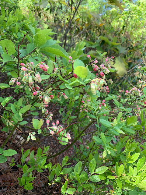 |
| Blueberries forming |
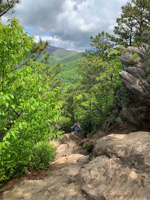 |
| Glen coming up |
 |
| A few rhododendrons were just starting to bloom |
 |
| Gorgeous mountain laurels |
 |
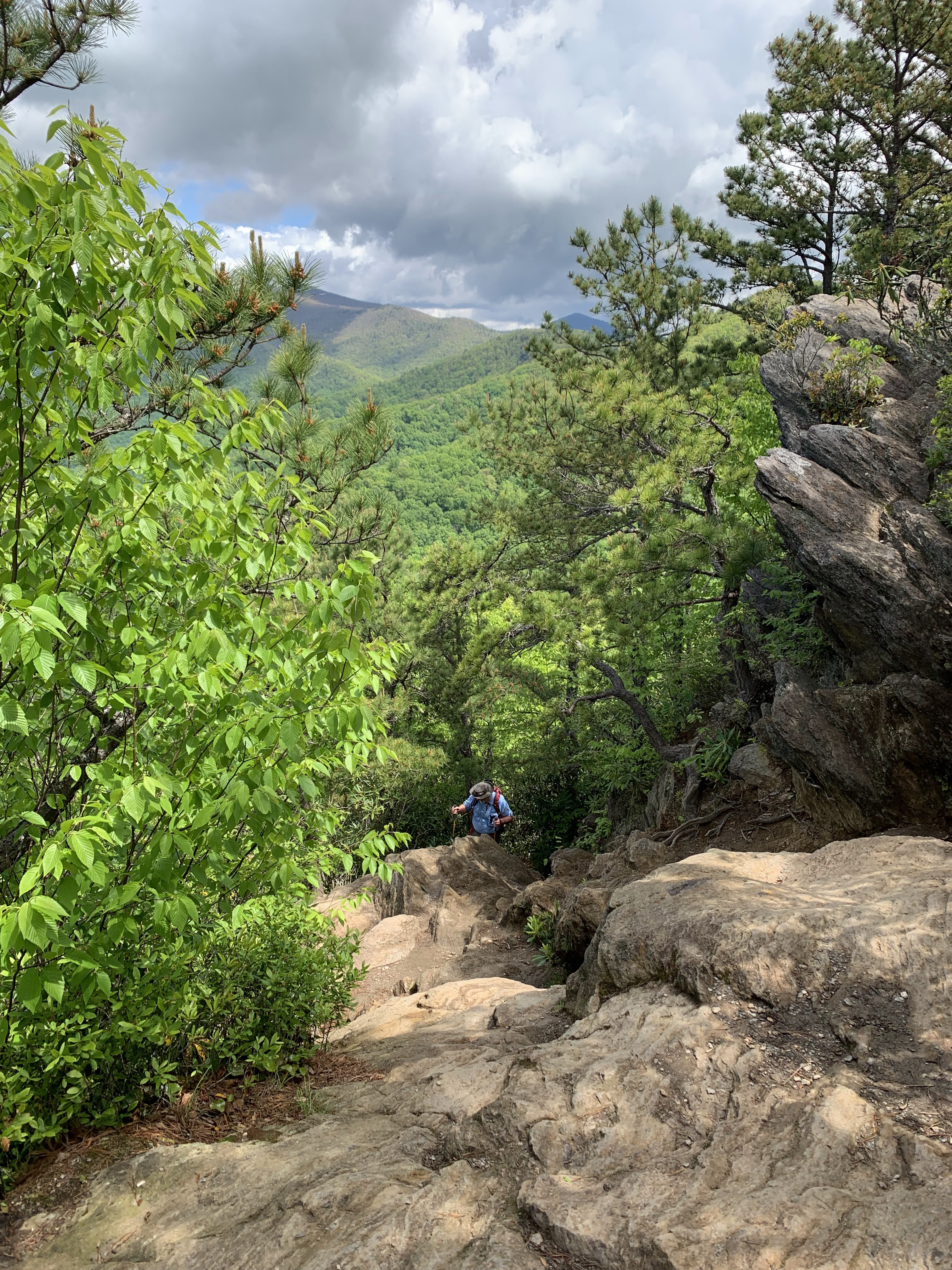
| View part way up the Lookout Trail |
 |
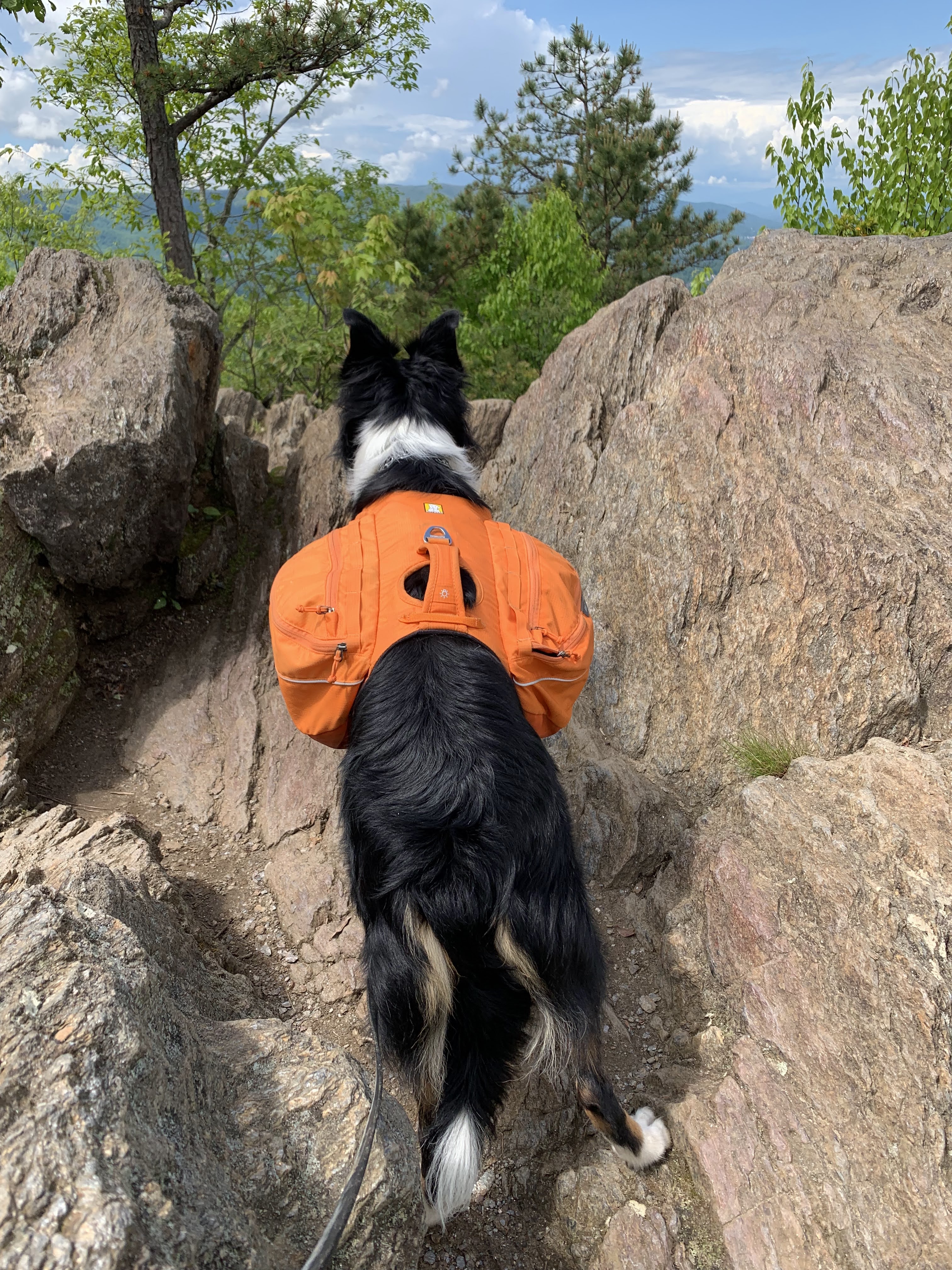
| Krumm was glad to get out hiking, after me being away for a week |
 |
| Wild geraniums |
 |
| White clintonia |
 |
| Camping shelter - no sides! |
 |
| which had a few holes in the roof! |


No comments:
Post a Comment