| Date | Distance | Time | Elevation Gain | Average Moving Time | Year to Date Miles |
|---|---|---|---|---|---|
| 12/4/2021 | 7.9 miles | 3 hours 28 minutes | 226' | 2.7 mph | 517.5 |
Parking: N35.912774, W82.756868
Maps:
- 100 Favorite Trails of the Smokies and the Carolina Blue Ridge (for directions)
- National Geographic French Broad and Nolichucky Rivers Map
Directions:
- See 100 Favorite Trails map
Carolina Mountain Club Challenges:
- 100 Favorite Trails #43
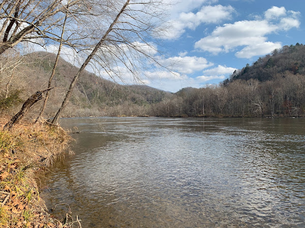
This hike is very flat! It reminds me a bit of walking on the C&O canal in Maryland. At some points the footing is rocky, so I did have to stare at the ground a lot. This trail is popular, so we did see a lot of people and dogs on it. The river is beautiful, with frequent cascades. We stopped for lunch where the creek meets the French Broad River. The French Broad is kind of muddy looking in Asheville, and I've heard can at times get high levels of e. coli. We were upstream of Asheville, so hopefully it is cleaner here. We let Krumm swim on the edge of the river. The river was calm here, so a safe spot. He has done a lot more wading than swimming, but today he swam, and did really well. Beautiful weather today - temperatures in the upper 60's, hiking in a short sleeve shirt.


No comments:
Post a Comment