| Date | Distance | Time | Elevation Gain | Average Moving Time | Year to Date Miles |
|---|---|---|---|---|---|
| 7/2/2021 | 2.4 miles | 1 hour 19 minutes | 264' | 2.4 mph | 139.7 |
Parking: Linville Falls Visitor Center. Part of the Blue Ridge Parkway was closed (see https://www.nps.gov/blri/planyourvisit/roadclosures.htm for road closures), but we were able to approach the visitor center from the other direction.
Directions: Hike along Erwin's View trail to 4 lookouts. The trail is well marked.
I was able to leave work early today, so we decided to head out to see Linville Falls. It's around a 70 minute drive from my house. The park is run by the National Park Service, and is off the Blue Ridge Parkway. I'm not sure what the elevation is at the park, but it was 68 degrees when we arrived.
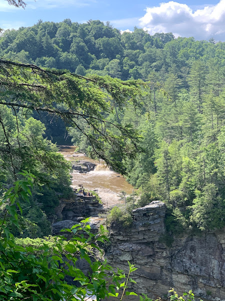
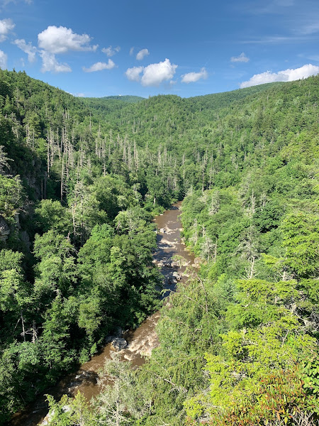
From the visitor center, and crossed a river. Where the trail split, we first headed to the right to see Chimney View, Gorge View, and Erwin's View. We turned back, and then visited the Upper Fall's View on the way back. We are saving the Linville Gorge Trail (also from the visitor center) for another trip. This hike was crowded! So many people. The views are worth the trip however. The hike itself is moderate. The terrain is mostly easy, and the trail has a number of steps.


No comments:
Post a Comment