| Date | Distance | Time | Elevation Gain | Average Moving Time | Year to Date Miles |
|---|---|---|---|---|---|
| 4/15/2018 | 11.1 miles | 1,021' |
Map: Appalachian Trail Guide, Pennsylvania plus map that comes with the guide
Parking: Dropped first car off at Caledonia State Park. Drove second car to Shippensburg Road.
Directions: Hike southbound on AT
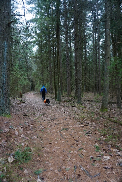
The parking lot was pretty full at 8am on a drizzly 41 degree morning. It was dreary and foggy out. And 40 degrees cooler than yesterday! The fog was blowing sideways. After I got moving and warmed up, I was happy. The fog crossing the trail was magical. The terrain was great today! There was only one short rocky section. Most of our hiking was either on level ground or going downhill. It was an easy hiking day. We finished our hike really early - because we wanted to miss the heavier rain forecasted for the afternoon. Today, we again crossed paths with ScoutMaster, a thru hiker we had met yesterday. We tend to confuse thru hikers, as sometimes we hike northbound, sometimes we hike southbound. There were tons of people out backpacking for the weekend - which made me happy (even though we weren't backpacking). We passed by another fancy shelter! This one had flower pots, a table, a bear box, a covered eating area, tent pads, and even a garden gate. The Potomac Appalachian Trail Club rocks!
We're supposed to get heavy rain tomorrow, so we're heading to the Pennsylvania state high point instead of the AT. We had planned to do that on one of our days - when either the weather was bad or we needed a rest day. Both Glen and Trek fell asleep at 6:30 pm! It's only day 2 of our vacation, and already they are tired.
 |
| Not a shelter, but a cabin that can be rented |
 |
| Very fancy shelter! |
 |
| In Caledonia State Park |
 |
| Furnace |


No comments:
Post a Comment