
| Date | Distance | Time | Elevation Gain | Average Moving Time | Year to Date Miles |
|---|---|---|---|---|---|
| 1/4/2018 | 1.3 miles | 38.4 |
Map: National Geographic Joshua Tree Map
Guide book: Hiking Joshua Tree National Park, a Falcon Guide (book didn't cover this hike)
Directions: Take the trail that heads uphill, across the parking lot from the nature trail.
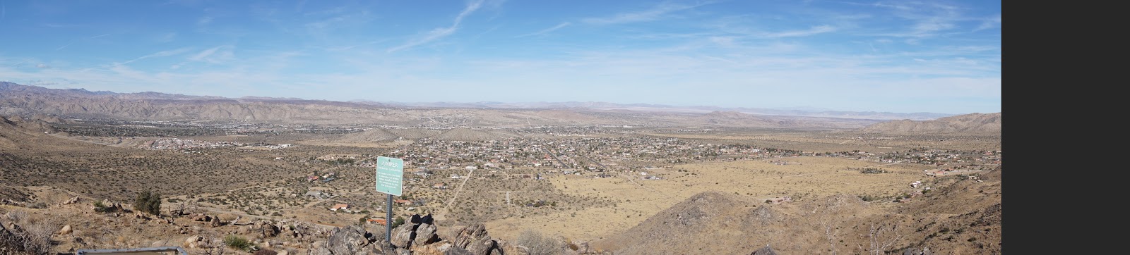
After doing the West Side Loop, we decided to do this hike which is in the same parking lot. We had seen some other people doing this hike when we were parked in the same area to hike up Eureka Peak. This hike is not marked, but its very straightforward, and is shown on the National Geographic map. It's actually outside the park boundary. The hike climbs to South Peak, which as views of Yucca Valley and Joshua Tree. There is a trail register on the summit. We read some entries - it looks like its a popular place to go for sunsets. Its a really short hike, so yes, it would be easy to hike down after sunset. There were benches in a couple of spots, so we sat down, took out our map and worked on identifying things that we saw in the distance. We extended the loop a little by going on a side trail that we saw.
We returned to our car and sat down to rest. I felt worse, took Pepto, and sat in the car waiting for it to pass. After some time, it didn't, so I gave up and returned to spend the rest of the day at the hotel in bed watching movies.
 |
| Looking down at the parking area. We never had an issue finding parking here. |


No comments:
Post a Comment