
| Date | Distance | Time | Elevation Gain | Average Moving Time | Year to Date Miles |
|---|---|---|---|---|---|
| 12/27/2017 | miles |
Map: National Geographic Joshua Tree Map
Guide book: Hiking Joshua Tree National Park, a Falcon Guide
Directions: We combined hike #1, Lost Palms Oasis and hike #3, Mastodon Peak Loop.
Yesterday afternoon, we flew into Palm Springs, California. I love the airport. It's small and has a retro design. You actually walk outdoors between security and the gates. I kept feeling like Frank Sinatra might walk by dressed in a suit, to take a flight. We found a vegan restaurant, Tanya's Kitchen, just 5 minutes from the airport. What luck. After stopping for dinner, we drove around 1 hour to the smaller town of 29 Palms, where we stayed for the duration of our trip. We liked our hotel in 29 Palms, but we preferred driving to the town of Joshua Tree for dinner.
The next day, we woke up at 5:30 am! But this is really 8:30 EST, so really it was like sleeping in. We wanted to make the most of daylight hours, so we started our hiking days early. It turns out, starting early is really helpful for parking as well, as many parking lots fill up later. We drove to the north entrance of the park, which is convenient to 29 Palms. The drive to this area is spectacular. Not many cars were in the lot at 8 am.
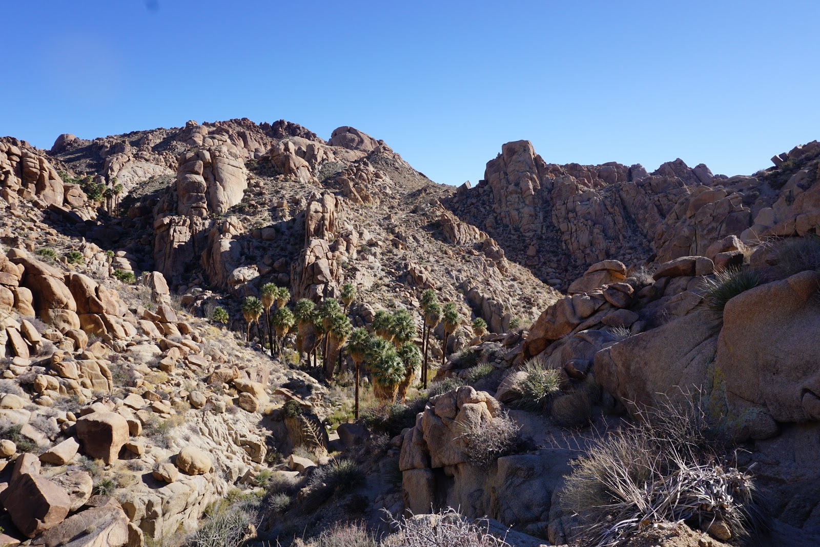
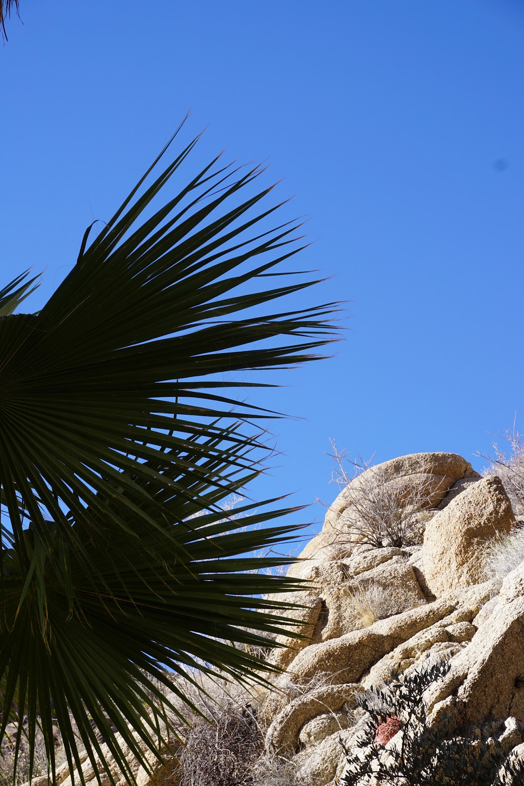
I started out our hike to Lost Palms Oasis in a wool long sleeve shirt base layer. Although mornings are cool here, a loose long sleeve shirt would have been much better. Long sleeves are good for sun protection - but it gets quite warm in the afternoons. The hike is on sand / small gravel. Hiking feels slow, like walking on a sandy beach. I carried 3 liters of water & left 1 liter in the car. 3 liters feels heavy. I rarely carry more than 2. This hike has a lot of sun exposure - actually every hike here has a lot of sun exposure! I felt like I needed to conserve water. The temperature was maybe 75, but the sun was strong and made me feel hot. I'm also taking some meds which give me a dry mouth, so that might have been part of it. I felt like I should drink 1 liter every 2 miles. Yes, its a hot dry heat, but it still affected me. The hike was listed as moderate. We made it to the oasis, and there was another family there as well. We looked for water - and only saw 1 small puddle - maybe 1 foot by 2 feet. All of the water in the park (which is very little) is for animals only - not humans. We were hoping to see bighorn sheep, but didn't see any. Returning back, we saw many, many hikers heading out. They looked hot and tired too. We covered ourselves with sunscreen. I had a baseball cap on - but my face still became red. I added the sides - its an Outdoor Research cap that you can strap a flap too - its pretty dorky looking, but I felt so much cooler. I wish I had a hiking umbrella - it would have been perfect for sun protection, and cooler than wearing a hat. Neither of us brought sunglasses & wish we had.
On the way back, we added on the Mastodon Peak Loop. It has a rock scramble on the way up, but it wasn't too hard. We enjoyed the view at the top.
Up next, on the same day - a stop at the Cholla Cactus Garden Nature Trail.


 |
Ocotillo
|


 |
Example of a sandy wash - a lot of our hikes were on terrain like this.
|


 |
Cholla
|

 |
We saw brown lizards every day
|


 |
Short scramble up Mastodon Peak
|
 |
Winona mill site
|

And some videos...I was hoping to just create one video - but I can't even remember what video editing software I used to use on my old laptop. I know I've used Windows Movie Maker (now obsolete) and some other product, whose name escapes me.
No comments:
Post a Comment