Distance: 300 meters / 0.4 miles (based on brochure) - though I'm guessing it is longer
Time: 10 minutes (based on brochure) - though I'm guessing it is longer
Year to date miles: 183.1
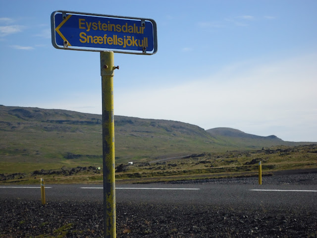
Driving directions: From Stykkisholmur, take route 58 south. Turn right on 54 west. Pass through the town of Grundarfjordur. 54 turns into 575. 575 turns into 574. Pass the town of Olfsvik. 574 turns into 573. Pass the towns of Rif and Hellisandur. Turn left at sign for Eysteinsdalur Snaefellsjokull. There is a sign on the gravel road at the parking area for the start of the hike. There is room for around 2 cars to park.
Map: Mal og menning, Map 10, Snaefellsnes (purchased from Omni Maps), also Trails in Snaefellsjokull
Parking: See above. Note - this is past a sign which I believe says that cars like ours (Corolla) shouldn't go! But it isn't much past the sign, and is still drivable.
More info: Snaefellsjokull National Park
Restrooms: None
Hike directions: We chose 5 short hikes, all start from the same gravel road. This was the fifth hike we reached on the road. It is described as hike #13 in Trails in Snaefellsjokull. This is an out and back hike.
Lodging after: Hotel Egilsen, Stykkisholmur
 |
| Sign for the gravel road |
 |
| Sign at parking area for Hreggnasi - pass this. Guessing this sign translates to be: No Corollas past this point |
 |
| Trailhead |
 |
| View of Snaefellsjokul in the distance |
 |
| Another view of the glacier |
 |
| View across the road to Mount Hreggnasi, which is our next hike |
 |
| Looking down into the crater |


No comments:
Post a Comment