Distance: 6.7 miles
Time: 5 hours 21 minutes
Map: Catskill Trails Map Set
Parking: See directions link
Restrooms: None
Notes: Catskill 3500 footer
Post hike dinner: Yum Yum Noodle Bar, Woodstock
Directions: West Kill Mountain
Notes: We met several groups of people on this hike.
Moxie started getting spooked by some people & barked at them, so we started putting her on leash when we approached others - that took care of the problem. Other people she went up to for petting.
At the very end of Spruceton Road there is a parking lot which only holds 4 cars. Just a little ways up the road is another larger parking lot, where we parked. There are blazes on Spruceton Road leading towards the trailhead.
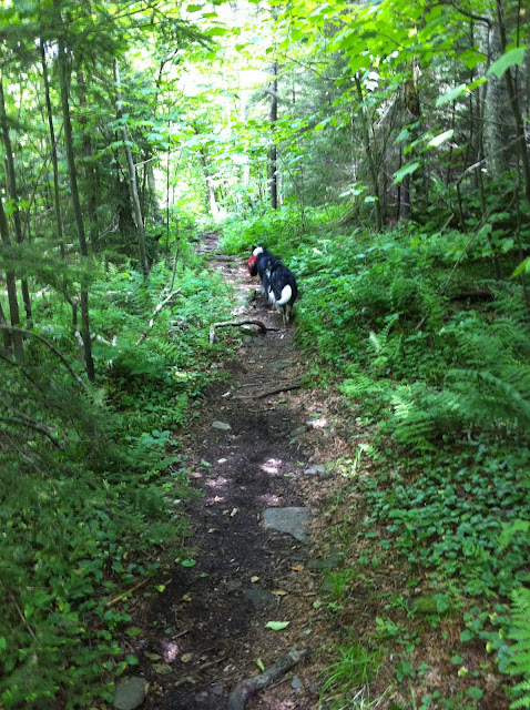
The trail follows a shallow creek near the beginning. It was hard to keep the dogs out of it.
The falls are worth a visit - pretty rock overhangs. The bridge at the falls is washed out, but the creek crossing wasn't difficult.
After the falls, turn right on the Devil's Path (known for its difficulty), where the trail becomes steeper.
The best views are from the Buck Ridge Lookout, just below the summit. We used our PeakFinder app to identify mountains we could see - which included Blackhead, Black Dome, and Thomas Cole, all mountains we have hiked.
There was a cairn at the summit.
 |
| Larger of the two parking lots, not quite at the end of Spruceton Road |
 |
| A butterfly orgy in the mud at the parking lot |
 |
| Its a short walk to the end of Spruceton Road. |
 |
| Parking lot at the end of Spruceton Road. It as full when we arrived. Room for 4 cars. |
 |
| Start of the trail |
 |
| Signing in at the register. |
 |
 |

 |
| The cave |


 |
| Buck Ridge Lookout, just below the summit |


 |
| West Kill summit |


 |
| The bridge was washed away at West Kill Falls, so we crossed below the waterfall |
 |
| Add caption |

 |
| Site of washed out bridge above the falls |

 |
| The trail passes smaller falls
Year to date miles: 203.9
|

Your pictures are stunning! I wanted to hike there last September but Irene put an end to that. I need to go in September because this guy on Spruceton Road grows the best organic squash ever so I have to be sure I go at the right time to get some!
ReplyDeleteDaniela
The falls are really idyllic. The photos don't do them justice.
ReplyDeleteThe hike was reasonable a difficulty. It's on the Devil's Path, but this section of that trail didn't seem too hard. Or maybe we are getting more fit?
Have you tried getting vegetables from a CSA? We are also vegetarians, and have belonged to a CSA for the past few years. You can't beat the freshness of the produce.
just an fyi
ReplyDeletebutterflies in the mud like that usually indicates a urine puddle--maybe from your dogs, maybe from someone else's
Interesting! It wasn't actually from my dogs...they were there when we arrived. I googled it, and found this link: http://science.howstuffworks.com/environmental/life/zoology/insects-arachnids/butterfly3.htm
ReplyDelete