Distance: 3.2 miles
Time: 1 hour 35 minutes
Map: Yorktown Walk Book (preferable)
Teatown Kitchawan Map (less detailed)
Parking: Dirt parking lot with room for around 7 cars Kitchawan Preserve
Restrooms: none
Post hike dinner: n/a
Directions:
There is a pharmaceutical company (private property) right next to the trailhead - what a beautiful place to work!
The trail segments are short and there are a lot of options.
We hiked the trails on the eastern side this time.
On this side, the trail does cross the North County Trailway (bike path).
We came across a number of other dog walkers on this hike.
We did manage to take a couple of wrong terms.
One point to note - where the trail goes under the high tension power lines, the map does give an accurate representation of where the poles were.
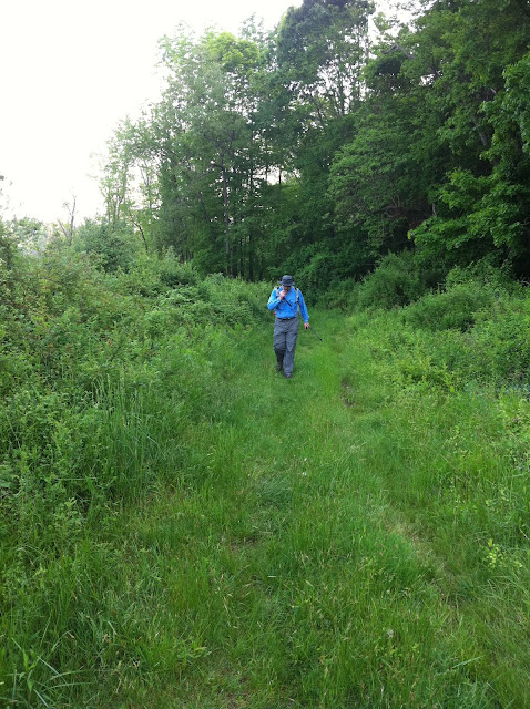
Photos a little blurry....
 |
| There is a sign with a trail map at the trail head. |
 |
| A longer trail leaving from the same parking lot.
Year to date miles: 142.1
|


No comments:
Post a Comment