| Date |
Distance |
Time |
Elevation Gain |
Average Moving Time |
Year to Date Miles |
| 6/4/2025 |
7.4 miles |
3 hours 57 minutes |
225' |
2.2 mph |
193.4 miles |
Parking: Map:- Take the trail and hike next to the river. Cross the railroad tracks and stop where the 2 rivers converge. Return the same way.
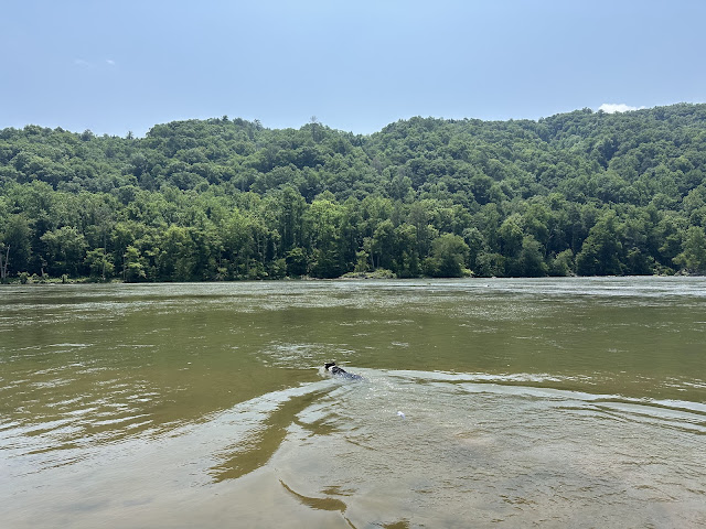
Phyllis & Paul joined us for a hike on the Laurel River Trail. This trail is longer than what I've been hiking this year, but exceptionally flat. I was able to hike it without a problem, just a little sore after I got home. We ran into CMC hikers who happened to be doing the same hike as us. Oops. I hadn't checked their schedule. We also saw many people soaking in the river. Next time we bring bathing suits! I wasn't sure about whether I'd let Krumm swim, because some sections have strong currents. I decided to let him swim at the midway point where the 2 rivers converge and there was a calm, shallow section of water. Krumm was very annoyed at me - he kept trying to drag me down to the river throughout the hike.
 |
| Letting him wade on leash in the Laurel River |


No comments:
Post a Comment