| Date |
Distance |
Time |
Elevation Gain |
Average Moving Time |
Year to Date Miles |
| 5/10/2025 |
4.1 miles |
2 hours 8 minutes |
651' |
2.3 mph |
156.1 miles |
Parking: - Lower picnic area, State Park Road, Wausau, WI. $16 day pass for out of state visitors.
Map:- Printed map available at the park entrance
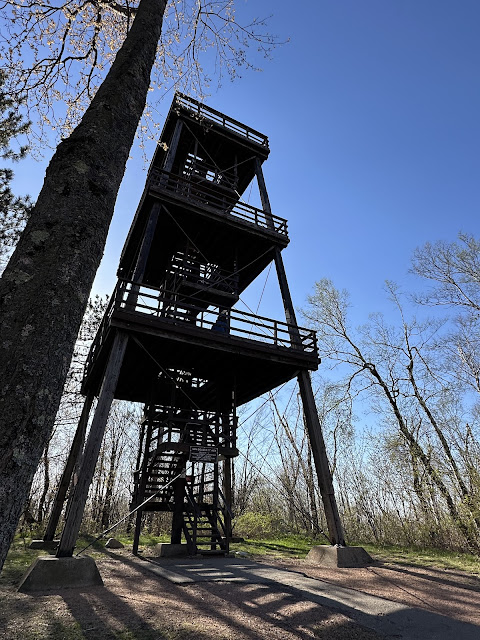
Directions:- Take the yellow trail behind the park entrance. Turn right when you hit the yellow trail loop. Take a slight detour to go up the observation tower. Return to the yellow trail. There are basically 4 connecting loops on the yellow trail. We did 3 out of 4 of them. If you do all 4 loops, it's a 4.5-mile hike.
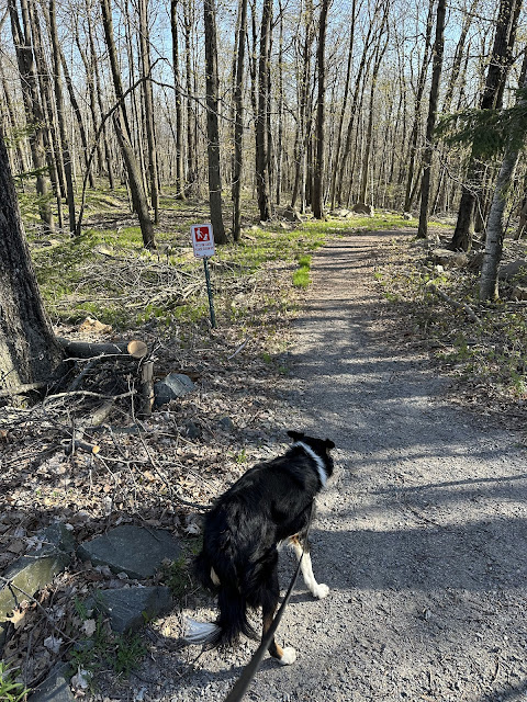
After our hike up Timm's Hill, we continued to Wausau, Wisconsin where we were staying the night. After checking into our hotel, we headed out to Rib Mountain State Mark, just a few minutes from our hotel. They had a nice map of all of the trails at the entry station. We had to pay a fee - luckily, we could pay by credit card. This park is mostly open woods. Lots of trees, no underbrush. This hike had hundreds of white trilliums in bloom. I don't think I've ever seen so many in one place. We stopped by the observation tower on Rib Mountain and climbed up it. It was another sturdy wood tower. For many years, Rib Mountain was believed to be Wisconsin's state high point, not Timm's Hill. Later it was discovered that Rib Mountain is 1,924 feet and Timm's Hill at 1,952 feet. This was a moderate hike with a steepish downhill section. The trails are wide and well maintained. There was excellent signage at intersections.
 |
| There are ski lifts at this park. |
 |
| "You are Here" signs are at trail junctions |


No comments:
Post a Comment