| Date |
Distance |
Time |
Elevation Gain |
Average Moving Time |
Year to Date Miles |
| 5/6/2025 |
2.3 miles |
2 hours 7 minutes |
58' |
2.6 |
148.1 miles |
Parking: Map:Directions:- From the back of the hotel, turn right onto the paved trail. Walk aways and then return the same way.
This morning, we charged our car way up and drove from Mackinaw City to Marquette. There are no superchargers along the route. It's a beautiful drive with pines, spruce, and birch trees. We saw patches of snow in some places. We first drove by Lake Huron and then by Lake Superior. We pulled off at a random beach - Au Train Scenic Area - on Lake Superior. I opened Krumm's crate, and he jumped out and ran straight into the water. Wow, this beach was fabulous. We were the only ones there, and the view was stunning. Lake Superior is a beautiful shade of blue. It was the perfect beach for dog swimming, with calm water, a sandy bottom, and no steep drop offs. Glen entertained Krumm by throwing lots of sticks for him. Eventually we got tired of throwing sticks, and Krumm reluctantly got back in the car.
We went to the supercharger in Marquette and then stopped by the food coop there. It was a nice store with everything we needed. Then onto our hotel. We have a ground floor room that looks out to Lake Superior. We could literally open the sliding glass door, and Krumm could run 25 feet to get into the lake.
We had time, so we decided to drive to Mount Arvon, the Michigan state high point. Everything we read said that the road to the high point can be dicey and gave very specific directions for the best route there. The directions all were from L'Anse, which is west of Mount Arvon. Well, we were approaching from the east. 30 miles from our destination, our road turned into a gravel road. Hmm. Our speed went way down. We only saw 3 vehicles on the road - all were high clearance trucks. Hmm. We let them pass on. Every time one passed, we were left in a cloud of dust - so bad that we had to stop the car in order to see the road. We passed by a nickel and copper mine. It was the only thing out there. Then we came to a turn. The next road was worse. It was a sandy road, and we started getting concerned. I think it was an ORV road. Hmm. And we still had 25 miles or so to go. We were driving slowly, so this could take hours. We decided to turn around. No Mount Arvon today. Tonight, we'll study routes to see how we can get there, going on main roads to L'Anse first hopefully.
We still wanted to hike, so we decided to try Black Rocks in Presque Isle park where my friend Mary Jo said we could look for agates. Well, it turns out dogs aren't allowed in the park (except inside of cars). I figured we could still stop briefly at Black Rocks and look for agates. Except the road to that section of the park was closed. We could have parked and tried walking there, but I didn't want to leave Krumm in the car while we had fun.
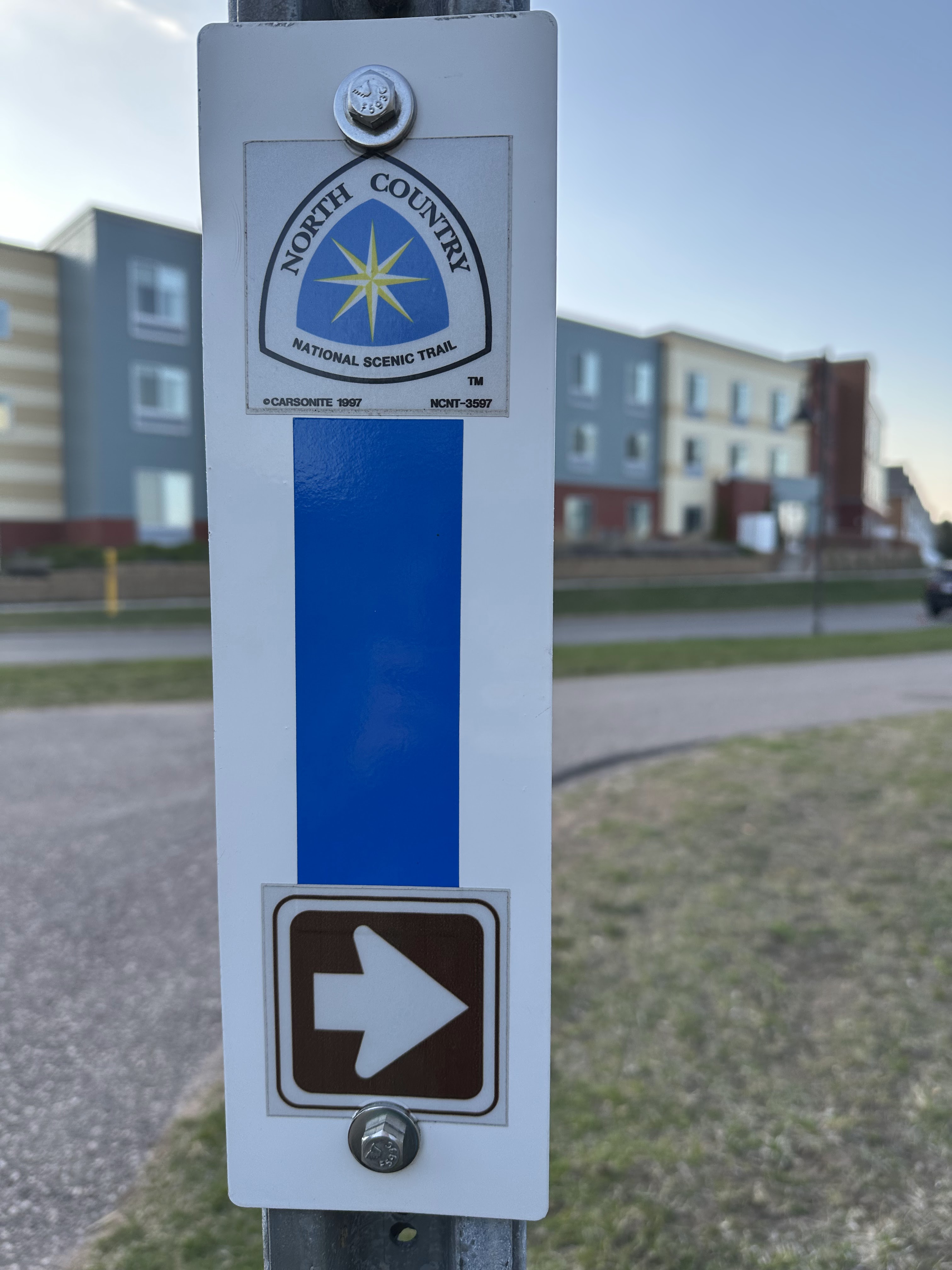
So, we ended up going back to the hotel. There is a long, paved walking path through Marquette, that goes along Lake Superior. We decided to walk that. Sometimes we walked on the paved path, sometimes on the beach. We stopped twice to let Krumm get some more swimming in. He was so happy. The paved walking path is actually part of the North Country Trail. The trail is incomplete but is 4,600 miles long and goes from the Adirondacks to North Dakota.
 |
| Krumm ran from the pull off into the lake |
 |
View outside of our hotel room.
There is a walking path between us and the beach. |
 |
Driving down a dusty gravel road to Mount Arvon.
Our windshield is so dirty. |
 |
| And then we are on a soft sand/dirt road. Still 25 miles to go on roads like this! |
 |
| Still some patches of snow out here |
 |
| Walking on the beach near our hotel. |
 |
| What a great system of walking/biking trails in this town. |


No comments:
Post a Comment