| Date |
Distance |
Time |
Elevation Gain |
Average Moving Time |
Year to Date Miles |
| 5/28/2025 |
2.8 miles |
1 hour 41 minutes |
451' |
1.7 mph |
174.9 miles |
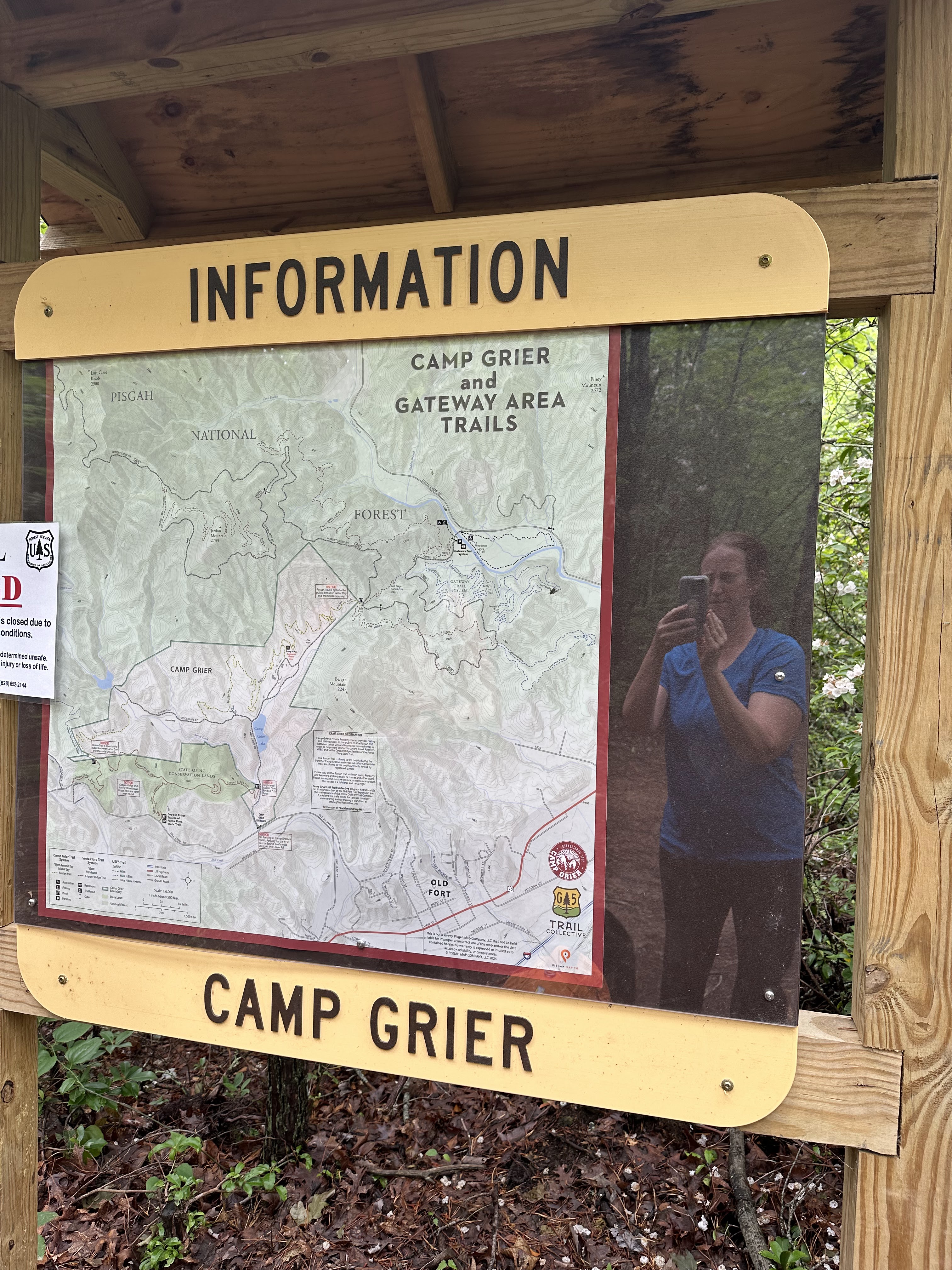
Parking: - 1530 Old US 70 W, Old Fort, NC
Map:- From the parking area, hike uphill following the feather blazes. Ignore 2 unmarked side trails on the right. When you reach the ridge at a meadow, turn left, continuing to follow the feather blazes. Hike to the road. There is no parking here. Return the same way.
The forecast was for rain, but we decided to chance it and go for a short hike. We did part of the Copper Ridge Trail in Old Fort. Downtown Old Fort looks okay, but the area near this hike has been devastated by Helene. There is a lot of work being done in the area, with a constant flow of dump trucks on the roads. We passed by a washed-out bridge and washed away train tracks.
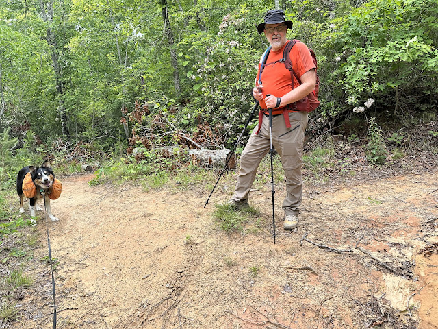
This hike is in a T formation. We didn't do the right-hand side of the T, so we'll come back sometime to hike that. It might be a 5-mile hike if you do the whole trail. This was a nice hike with some steep climbs (with switchbacks) at points. The trail is well maintained. We only met 3 people on the trail - 2 mountain bikers & a hiker. The trail has many mountain laurels on it, but they were past peak. There are other connecting trails here - one was closed for the summer (on Camp Grier property), and one was closed due to hurricane damage.
I picked one tick off my hand (ewwww) after returning home. We are finding ticks on us or Krumm every day it seems.


 |
| Keep left at this intersection (unmarked trail on the right) |
 |
| Turn left at the meadow here. This is the T intersection. |
 |
| Goat's Rue |
 |
| Passing by a pipeline |
 |
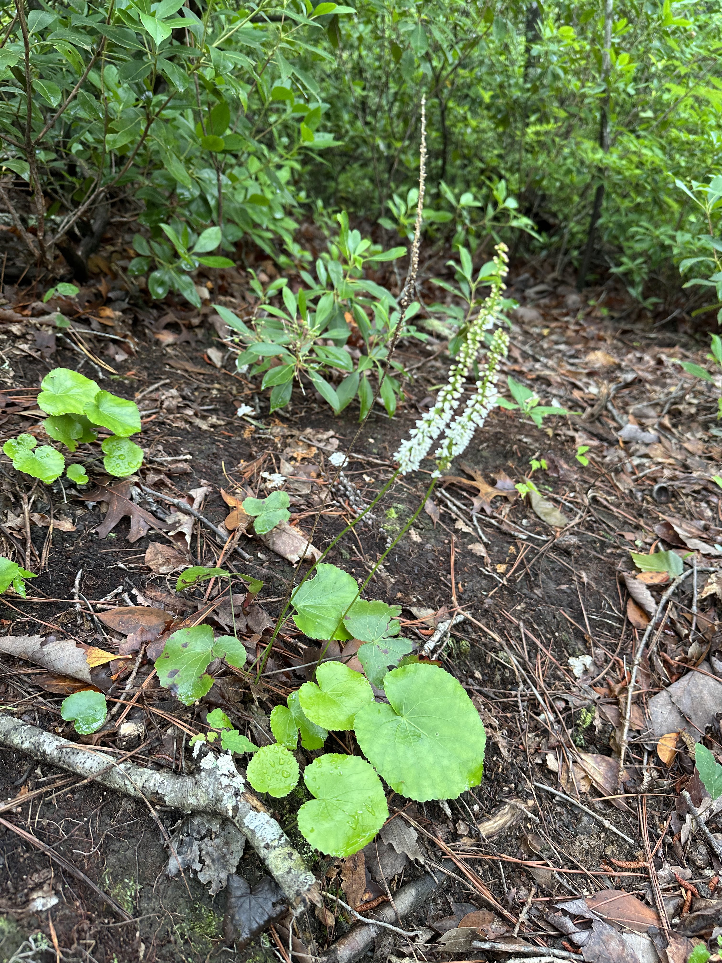
| Galax |
 |
| Two trails that connect here are closed. One seasonally and one due to trail damage. |


No comments:
Post a Comment