| Date |
Distance |
Time |
Elevation Gain |
Average Moving Time |
Year to Date Miles |
| 4/26/2025 |
1.3 miles |
48 minutes |
48' |
1.8 mph |
120.9 miles |
Parking: - Nuttallburg Parking, Keeneys Creek Road, Fayetteville, WV
Map:- Provided at Visitor Center
Directions:
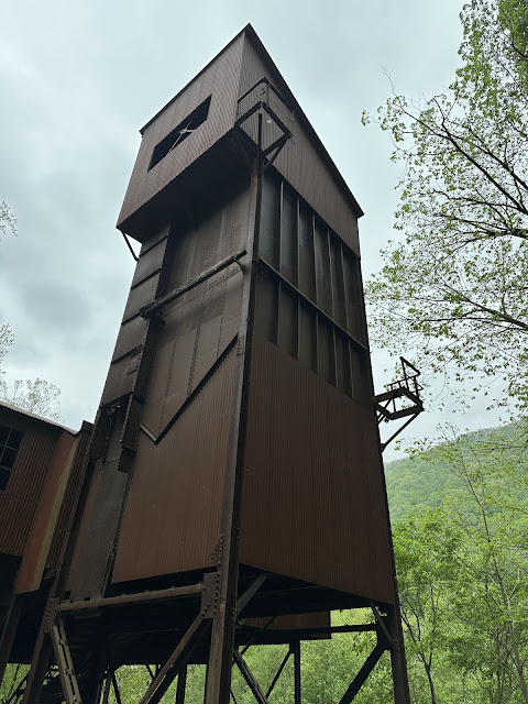
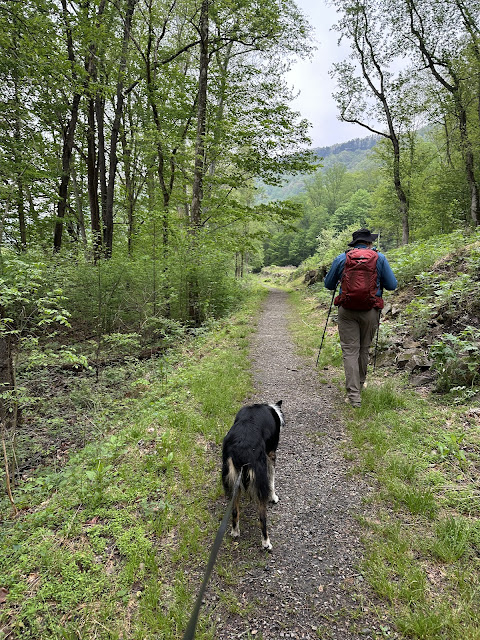
I had seen photos online of an interesting building in the park. It turns out it is a tipple. I wanted to check it out, so we drove on a long gravel road, not wide enough for 2 cars. It was a bit challenging as you'd need to find a place to pull off whenever a car came from the other direction. We parked at the end of the road and headed over to the tipple. There is a mine above the tipple, and a very long conveyer belt which transported coal from the mine to the tipple. The tipple can load coal into railway cars. Henry Ford helped design this tipple - he needed coal to run his factories. I tried to sketch the tipple, but the bugs were eating us alive, so all I could stand to do was a 5-minute sketch. We continued on, swatting away at the bugs. We passed by beehive style ovens which were used to convert the coal into coke. We passed by the town store and then to ruins of town residences. I even found a piece of coke on the trail. It was really interesting, but oh so buggy, so we couldn't stop moving. There were more trails in this area that I would have liked to have explored, but I was getting too bit up to want to hike more. I will need to pick up some bug spray!
 |
| The dark straight line is the conveyer belt from the mine to the tipple |
 |
| This is the tipple |
 |
| One of the beehive ovens, used for baking coal to turn it into coke |
 |
| A piece of coke |
 |
| Ruins of a residential village |
 |
| Lots of Mayapples |
 |
| The company store. Coal mine workers were paid with scrip, that they could only use at the company store. |
 |
| The conveyer belt |


No comments:
Post a Comment