| Date |
Distance |
Time |
Elevation Gain |
Average Moving Time |
Year to Date Miles |
| 2/17/2025 |
3.5 miles |
2 hours 3 minutes |
820' |
1.8 mph |
52.9 miles |
Parking: - End of Catawba River Road, Old Fort
Map:Directions:- Take the Catawba Falls River Trail to the lower falls, then continue on to the upper falls. Rock hop across the river below the upper falls (as the observation platform has been washed away). Continue down the Ridge Trail back to the parking lot.
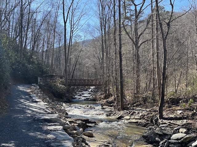
Popped two Advil and off to do hike to Catawba Falls again. Last time we only hiked the new Ridge Trail. This time we did the full loop, so we saw both the lower and upper falls. After lots of rain, the falls look great, but the ridge trail was quite muddy and slippery. Krumm wanted to swim, but it was a cold day, so we only let him wade in the water. We hiked up the 585? steps on the river trail. Periodically you would see a sign showing how many more steps there are to climb. Having stopped going to the gym and hiking much less has made the climb challenging. We took lots of breaks :) Some of the steps were a metal grating - not so dog friendly, but he did it without complaining.
 |
| First rock hop |
 |
| Some of the steps are wood, some are this rough metal grating. |
 |
| Upper Catawba Falls |
 |
| Crossing the river due to the missing viewing platform |


No comments:
Post a Comment