| Date | Distance | Time | Elevation Gain | Average Moving Time | Year to Date Miles |
|---|---|---|---|---|---|
| 5/10/2022 | 9.7 miles | 5 hours 50 minutes | 1,265' | 1.9 | 350.6 |
- One car at Oconee State Park
- One car at Bad Creek Access Area
- One car at Table Rock State Park
- Trail map, pocket profile, guidebook from Products – Foothills Trail Conservancy
- FarOut app, Foothills Trail
- Backpack from Fish Hatchery Campsite to Bad Creek Access Area
Carolina Mountain Club Challenges:
- Waterfall Challenge - Whitewater Falls
Day 3 of our hike. Daytimes have been comfortable, but nights have been cold for me. I'm the world's coldest sleeper in a tent. Each night I've been making a hot water bottle to put in my sleeping bag. It uses a lot of fuel, but I love it. I left my puffy pants at home and wished I hadn't.
I made a lot of different recipes for our trip, as I really enjoy having a hot meal in the wilderness. I've been using recipes from Backcounty Foodie and Andrew Skurka. A new favorite lunch snack is Baby Bel cheese with Triscuits. I've read that the wax wrapper around the cheese can be used as a fire starter. Nice!
The highlight of today was Whitewater Falls. They are reached via a short side trail from the Foothills Trail. There are a lot of steps up to climb to the lookout. I don't mind the steps up but coming down was a bit nerve wracking (I have PTSD from breaking my ankle). I just went very, very slowly.
At the end of our third day, we took a .7-mile side trail to the Bad Creek Access Area. This is on Duke Energy's property and is a recommended place to park your car (much safer than other locations). We didn't want to carry 7 days' worth of food, so we built a hotel stay into our itinerary. We dropped off a resupply box at the hotel before our trip and picked it up on the evening of day 3. The hotel stay was a nice break - getting in a shower and a fresh set of clothes. Eva had other plans this week, so she headed home after day 3.
One great thing about this trail: SIGNAGE
This trail has some amazing signage. At the campsites, there are beautiful signs showing the distances to the previous and next campsites. In addition, periodically there are signs showing the distance from our start point and end point. It was great to watch our mileage as we got closer to Table Rock State Park.
 |
| Lots of steps heading up towards Whitewater Falls! |
 |
| Whitewater Falls is spectacular |
 |
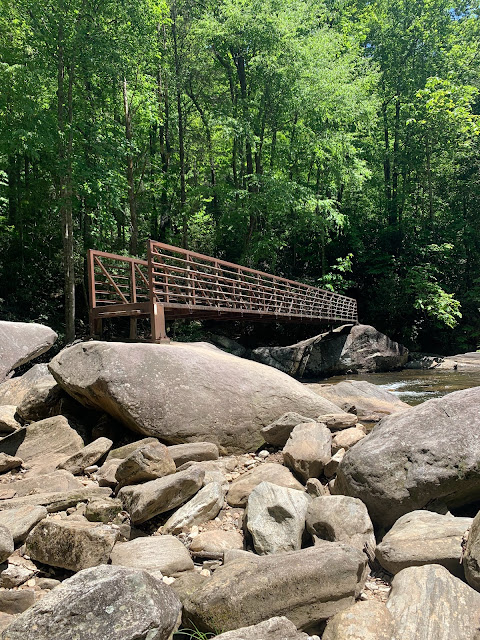
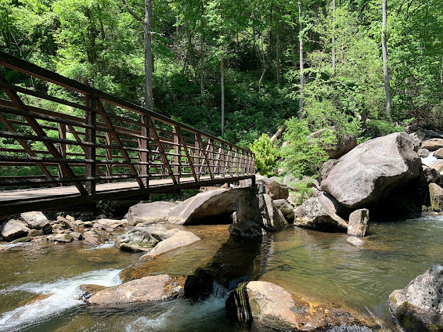
| A rock scramble to get onto the bridge - made a little more challenging by our backpacks |
 |
| A section with nice cruisy trail |
 |
| Making tea outside the hotel |
 |
| Drying out our tents |


No comments:
Post a Comment