| Date | Distance | Time | Elevation Gain | Average Moving Time | Year to Date Miles |
|---|---|---|---|---|---|
| 1/19/2022 | 7.4 miles | 4 hours | 431' | 2.0 mph | 32.4 |
Parking: North Carolina Arboretum main parking area (there is a fee, or you can get an annual membership)
Maps:
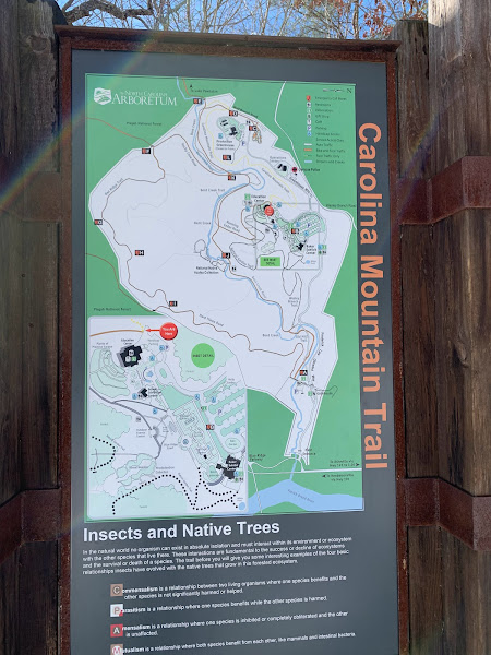
- The North Carolina Arboretum - map provided when you park
- Map_Guide_2017Revised_web.pdf (ncarboretum.org)
- BentCreek Trails Map August 2008 (usda.gov)
- Gaigps.com
Directions:
- From the parking area, start at the Carolina Mountain Trail. Cross Wolf Branch Road, staying on the trail. Turn right onto Bent Creek Trail, following a stream. Turn right onto Hardtimes Road. Turn right onto Hardtimes Connector Trail. Cross Wesley Branch Road and stay on the Hardtimes Connector Trail. Turn right onto Deer Lake Lodge Trail and go to Rice Pinnacle Parking area (a good sized parking lot). Turn around and retrace steps on Deer Lake Lodge Trail. At the intersection of the Hardtimes Connector Trail, turn right onto Deer Lake Lodge Trail. At road, turn left to continue on Deer Lake Lodge Trail. At next trail junction, turn right to stay on Deer Lake Lodge Trail. Continue to Wesley Branch Trailhead Parking. Turn around and retrace steps to intersection. Turn right - not sure what this is - Hardtimes Road? Turn right onto Wesley Branch Road (vehicle traffic), then turn left shortly back onto Hardtimes Road. Turn left onto Bent Creek Trail. At intersection, turn left onto Bent Creek Trail again. Turn right towards greenhouse parking. Follow sign that brings you back to the Carolina Mountain Trail. Turn left onto Carolina Mountain Trail. Return to parking area.
Carolina Mountain Club Challenges
- Pisgah 400 Challenge #661 Hardtimes Connector
- Pisgah 400 Challenge #664 Deer Lake Lodge Trail
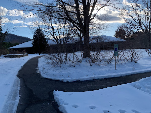
We are still recovering from a snowstorm. This makes choosing a hike a little challenging. Although we are prepared for winter hiking (being from NY), we are not prepared for winter driving here. In NY, roads tend to be plowed very quickly. Here not so much. I know crews are very shorthanded due to covid. Main roads were clear, but some secondary roads have not been plowed and are icy.
We got some parking information (where not to park) from Danny, one of the CMC members who had been checking some parking lots in the area. We checked this morning and saw that the arboretum was open, so we parked in their main parking lot, which was nicely plowed. We came up with a plan to hike from the arboretum into Bent Creek but didn't really have a plan of where we'd hike in Bent Creek. We made up our route (looking at Gaia) as we went. This area is covered by the National Geographic Pisgah Ranger District Map, but this map is not ideal, as there are a mess of trails in this area. I haven't gotten the Pisgah Map Co map of Pisgah - maybe it's more detailed for Bent Creek? Maybe someday I'll get the online map printed in color at a copy shop. Unless someone knows of a better commercial map? Even though we do use the Gaiagps app, I always prefer to have a printed map with me. I often print maps from Gaia as well.
This hike is a very easy hike. Except today it was icy, so less easy. I think some of the trails are gravel or paved. It's hard to tell as everything is covered in a layer of slushy ice/snow. We finally found our microspikes yesterday. Yes, we still have one room in our house of things we haven't unpacked since moving. I don't like wearing microspikes, at least not for very long, as they end up making my feet hurt. So, we just hiked slowly and slid a bunch. At the very end, I gave in and put them on. Ah...to walk confidently again! Despite the trail conditions, it was a great day for a hike. 50 degrees and sunny. So much nicer than NY weather in January! Krummholz kept trying to drag me over to the streams so he could wade in them. We ran into Danny on our hike. Nice to see someone we know. She told us that the Carolina Mountain trail was built by the Carolina Mountain Club.


No comments:
Post a Comment