
| Date | Distance | Time | Elevation Gain | Average Moving Time | Year to Date Miles |
|---|---|---|---|---|---|
| 10/6/2018 | 5.4 | 3 hours 11 minutes | 1,749' | 35:23 |
Map: NYNJTC Catskills Map 142
Parking: See Belleayre Mt: Ski Area from Pine Hill
Directions: Modified version of Belleayre Mt: Ski Area from Pine Hill
We looked at Catskill Hiker's website to try to figure out a route & parking for this hike. There isn't parking marked on the NYNJTC map. We weren't sure quite where to park, but we were able to park near the trailhead. We parked on the opposite side of the street, but I think it would be better to park right next to the trailhead.
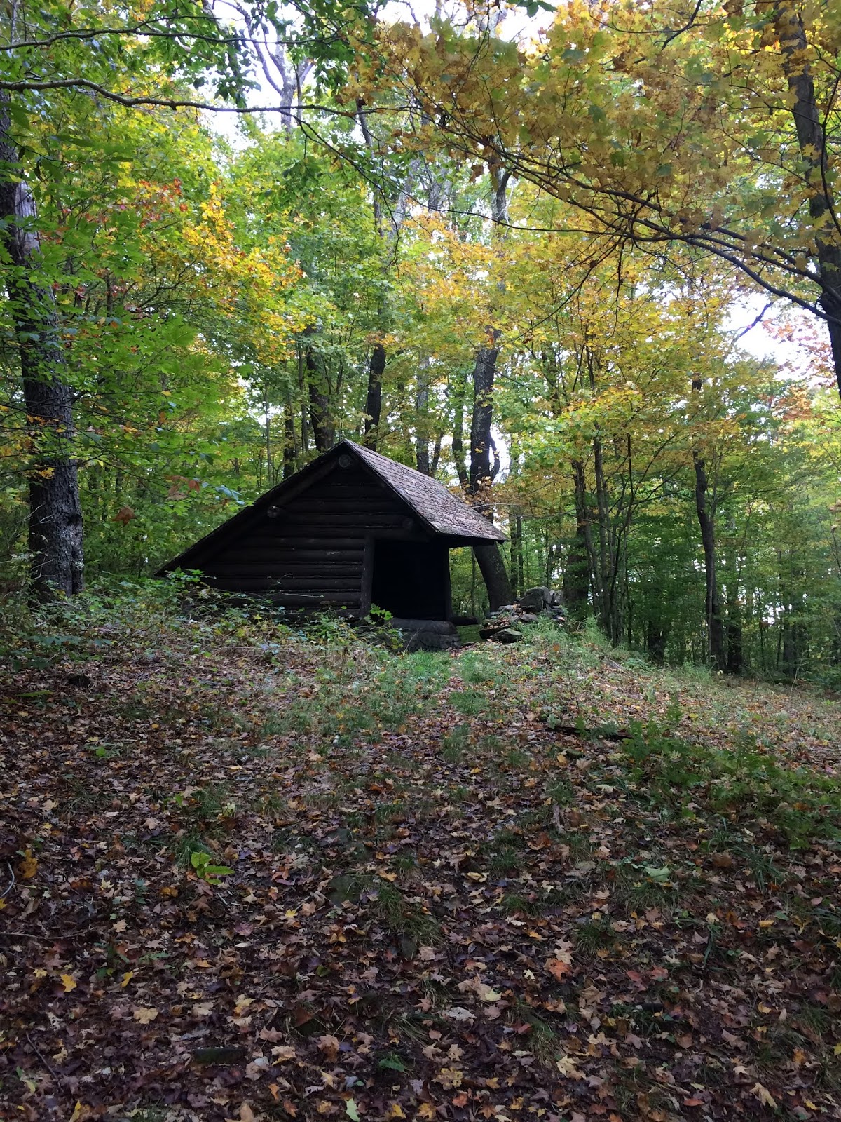
The trail starts out in a patch of weeds, and it was unclear where to go. We walked around a bit, and found the trail parallels the road. We started out hiking on an old railroad bed. After a while, the trail leaves to the left of the railroad tracks. And then the trail heads up a ski slope of Belleayre Mountain. The blazes are on the left edge of the ski slope, but the trail is actually a herd path through the ferns in the middle of the ski slope. This part was tough. Just really steep, and we needed to rest a lot. We were so glad when we reached the top. We decided not to visit the western summit of Belleayre Mountain. We had just been there recently, and with the weather, the views were unlikely to be good today. We turned left and headed towards the eastern summit of Belleayre Mountain. We continued past the shelter, and turned left onto the Pine Hill West Branch Trail. We took this trail down, and it eventually led to someone's driveway on Woodchuck Holllow Road. We followed the road down back to our parking area.
 |
| Trailhead - trail parallels the road at the start |
 |
| The trail follows and old railbed |


 |
| Belleayre Mountain ski trails |

 |
| The hike up the ski trails was tough |


 |
| Eastern summit of Belleayre Mountain |


No comments:
Post a Comment