
| Date | Distance | Time | Elevation Gain | Average Moving Time | Year to Date Miles |
|---|---|---|---|---|---|
| 7/30/2018 | 6.1 miles | 4 hours 15 minutes | 1,500' |
Map: NYNJTC Catskills map 141
Parking: Spruceton Road (2nd parking lot from the end of the road)
Directions: Hike southbound on the Diamond Notch trail to the other end. Return the same way.
Our goal today was to hike the section of the Diamond Notch trail which is south of the Devil's Path. That's only a 4 mile round trip, so we were going to also add in Southwest Hunter Mountain. I had done some research on parking in Lanesville before, and I remember it was supposed to be tricky. The very end of the road is a grassy/rocky road recommended for high clearance vehicles only, but I thought you could park somewhere before that section. We drove up to the section where the road gets rough, and decided against trying to drive up that section. We so need a Jeep! At the end of the good section of the road, there was a sign put up by a homeowner which said you could park either ahead up the rough road, or 500' back near the bridge. Well, we drove back to the bridge, where there was a nice pullout (looks like a snowplow turnaround) which could hold 3 cars or so. Except there were no parking signs there. Pretty much all along the road there were no parking signs/you will be towed signs. I wasn't sure if there was anywhere safe to park, so we ended up changing plans.
We drove over to Spruceton Road and decided to just hike the whole Diamond Notch trail, starting from the north end. Since we were adding in a couple extra miles, and lost a bunch of time, we decided to skip Southwest Hunter Mountain, and just do the Diamond Notch Trail. Luckily we found a parking spot on Spruceton Road. The parking areas there tend to fill up. We got a spot in the 2nd parking area from the end of the road. From there, we continued down the road to the start of the Diamond Notch trail, which is behind a gate. There were quite a few people hiking over to see Diamond Notch falls, which are about an hour in. We've had a lot of rain recently, so a nice time to visit the falls. On the other hand, we've been to the falls another time, and the slow streams of water dripping over the edge of mossy rocks was magical.
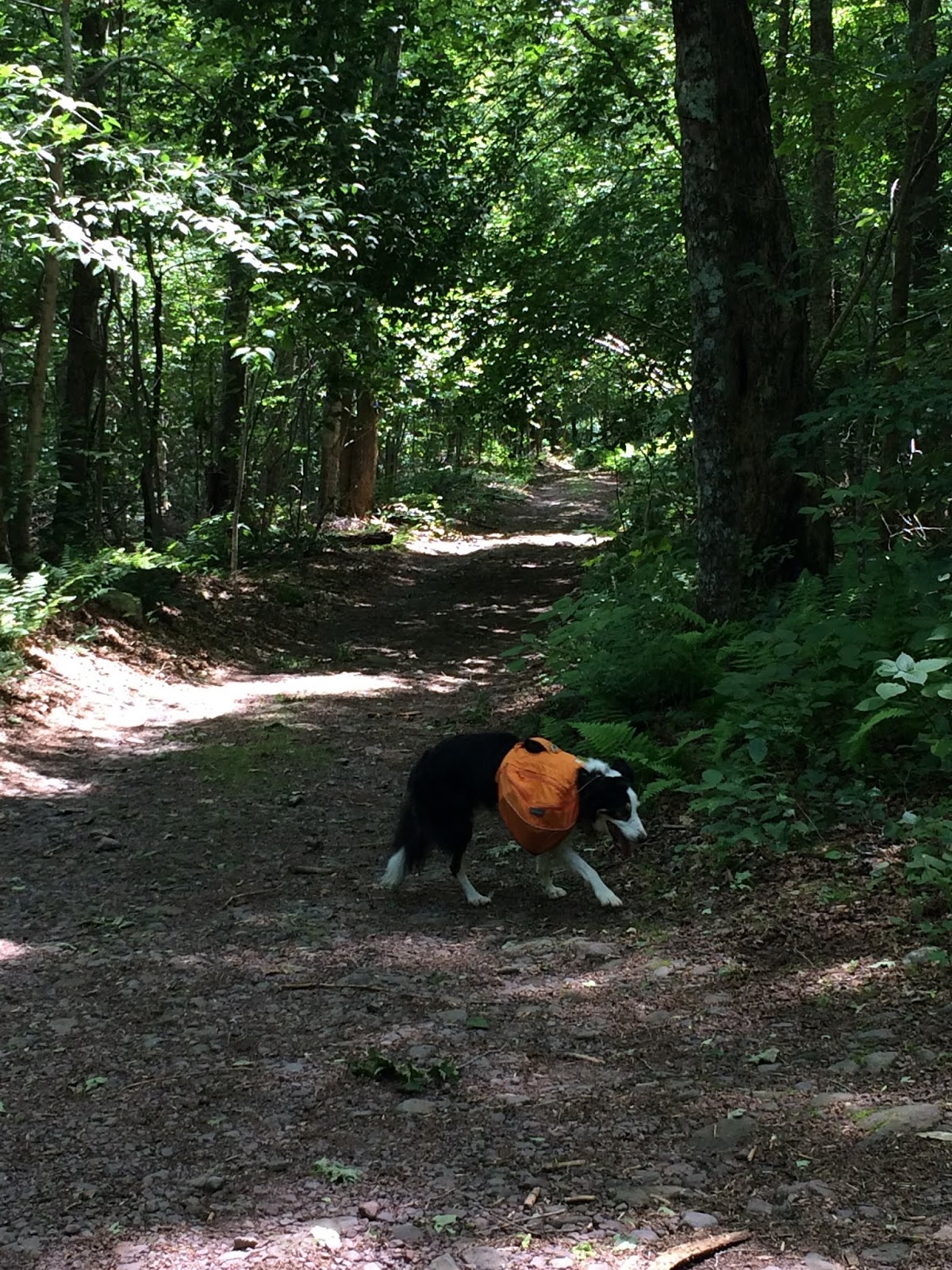
The trail to Diamond Notch falls, is rocky at times, but not a hard trail. I would consider this one of the easier hikes in the Catskills. Continuing past the falls, I didn't expect to see many people, but we did see a handful, as well as 3 mountain bikers. It didn't seem like it would be a fun trail to bike on (too overgrown in spots). There were additional smaller falls past Diamond Notch falls. It was a pretty hike. There was one unbridged water crossing which we had to be careful at. We met some backpackers who said it was extremely challenging on Friday evening.
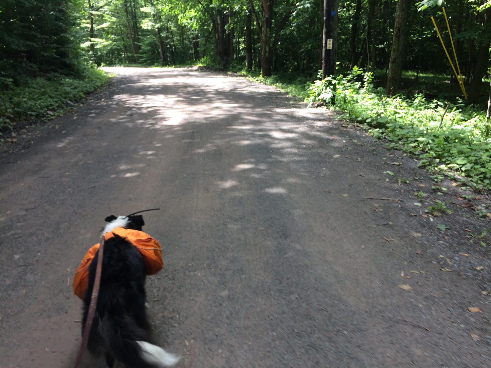 |
| Walking from the parking lot to the start of the trail |


 |
| Taking a break at the shelter south of the falls. |


 |
| More difficult stream crossing, not bridged |


No comments:
Post a Comment