
| Date | Distance | Time | Elevation Gain | Average Moving Time | Year to Date Miles |
|---|---|---|---|---|---|
| 12/28/2016 | 8.3 | 4 hours 54 minutes |
Map: 60 Hikes within 60 Miles San Francisco
Parking: See book.
Directions: Hike #31 in book
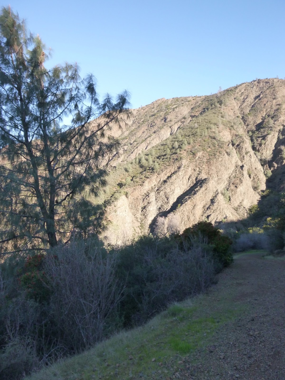
We really enjoyed this hike. It wasn’t too crowded. The views from the summit were great, and we had the summit all to ourselves. At the trailhead, it says you can do a 14 mile trip to Mount Diablo, but given the number of hours of daylight and me not being in shape, this wouldn’t have worked out.
This hike also had nice variation. Some if was on fire roads, and some of it was on trails. There were a lot of switchbacks on the first half of the hike. Along the way you would get nice views - a chance to stop and catch our breath.
There are several trails in the Mount Diablo park. The park map from the park website was pretty useless. It isn’t very detailed and many trails are missing. I think next time we go hiking out here, I’ll order a high quality map ahead of time. We carried our guidebook which has a detailed map of just this section of the park, and we also had a more detailed map that we downloaded onto my phone (Avenza PDF). There are many other hike possibilities in this park and it isn’t overly crowded, so it would be a good place to hike again.
I took a Naproxen at the end of the day, in order to recover for the next day’s hike. My outer hip was sore, but not too bad.


 |
| Off the fire road and onto a trail. |

 |
| Huge wind farm across the bay |


 |
| Maybe not the most scenic view, with a mine in the background. |
No comments:
Post a Comment