
Miles: 3.9 miles
Time: 2 hours
Elevation gain: 1,233 feet (cumulative)
Max elevation: 4,777 feet
Year to date miles: 546.6
Map: Sedona Outdoor Recreation Map
Parking: Scheurman Mountain Trailhead, next to school. From the junction of Routes 89A and 179, take 89A west 4.2 miles to the traffic signal at Upper Red Rock Loop Road. Turn left and go .25 miles, passing the high school and turning onto the third driveway to the right. Go 50 yards to marked trailhead parking to the left of a gated entrance.
Restrooms: None
Post Hike Dinner: Whole Foods on 89A
Hike Directions:
Look for sign for Scheurman Trail in parking lot. The trail is just to the left of a fence.
Follow the trail past the school & solar panels.
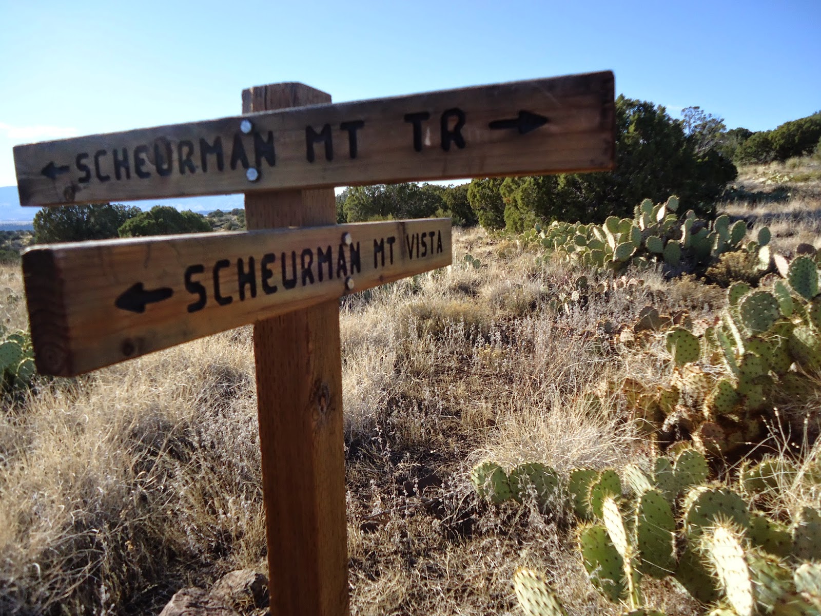
At sign for Vista, turn left onto Vista trail and follow to end.
Turn around and retrace steps to intersection with Scheurman Trail.
Turn left on Scheurman Trail.
Continue to high point on trail.
Turn around and return on the Scheurman Trail back to the parking area.
Notes:
Once you get past the school this is very pretty and peaceful.
The terrain becomes a mixture of grasses, prickly pear cactus, and short trees.
There were many Western Bluebirds with brilliant blue feathers.
This hike has a lot of direct sunlight exposure, so has the potential to be hot.
After a climb in the beginning, the rest of this trail is easy.

 |
| Parking area |
 |
| Start of trail from parking area |
 |
| Side trail to vista |
 |
View from vista
|
 |
View from vista
|


No comments:
Post a Comment