
Miles: 9
Time: 4 hours 54 minutes
Elevation gain: 2,659 feet
Parking: Housatonic River Road, at Great Falls, Amesville, CT
Rest rooms: none
Hike directions:
From parking area, cross street and start up trail into the woods. Hike north to Mt. Prospect, Rand's View (meadow with mountains in the distance, Giant's Thumb (an unusual rock), Raccoon Hill, Billy's View, to Garrett Brook. Return to parking area, and then head south to Iron's Bridge. Turn around and return to parking area.
Map: Appalachian Trail Guide to Massachusetts Connecticut or Connecticut Walk Book West
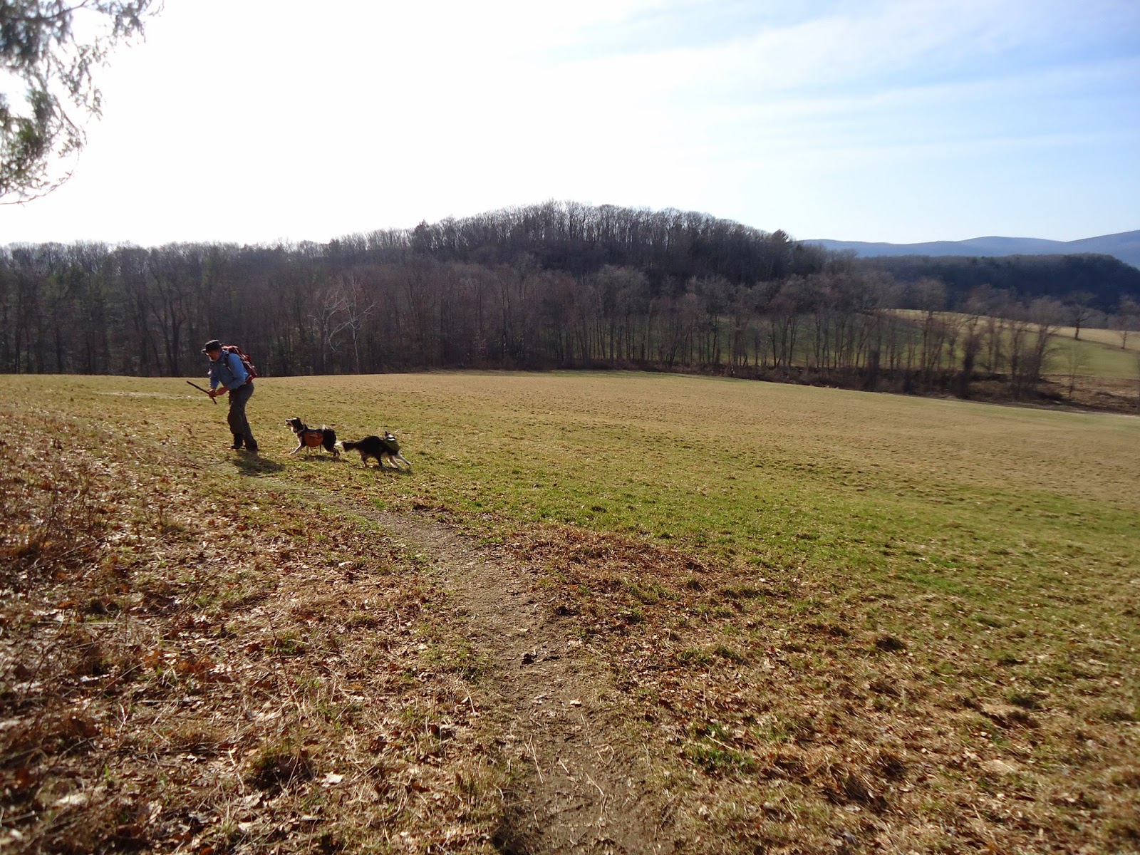
Hike description: This hike had hills, but nothing very steep. A lot of the trail was dirt, which was really nice on the feet. Rand's View is phenomenal - huge meadows with mountains in the distance. What a spectacular view, worth visiting again. A great place to stop and have a lunch. We stopped and threw a tennis ball for the dogs (we now pack a tennis ball in one of their packs for moments like this).
Year to date miles: 126.6
 |
| Parking area. The top of a very powerful waterfall - Great Falls. |
 |
| We crossed the street from the parking area and headed north. |
 |
| View from Mt. Prospect |


 |
| Rand's View, the highlight of the trip. Trek carries a tennis ball in his pack for moments like this. |


 |
| Billy's View was a good place to stop and have a snack on some rocks. |

 |
| We had to stop by Rand's View again and throw more balls for the dogs |

 |
| Passing by the parking area at the top of the falls |
 |
| Iron Bridge |
 |
| Great Falls - a powerful waterfall with a hydroelectric plant |
No comments:
Post a Comment