
Distance: 5.9 miles
Time: 3 hours 22 minutes
Total elevation gain: 2,107 feet
Map: West Hudson Trails Map
Parking: From route 9W southbound, turn right onto Reservoir Road.Take right at T intersection. Follow to Black Rock Park. Parking area with room for around 15 cars.
GPS coordinates: 41.418627, -74.010401
Restrooms: none
Post hike dinner: n/a
Directions:
Cross the street from the parking area, and take the yellow blazed Stillman/blue blazed Highland trails.
Continue up Whitehorse Mountain
Pass Upper Reservoir on your left
Where Stillman/Highland trails split, stay left on blue blazed Highland trail
Where Stillman rejoings from right, stay left on combined Stillman/Highland trails
Continue up Mount Misery
Left on white blazed Scenic trail
Continue up Hill of Pines
Cross Carpenter Road (park/woods road)
Continue up Rattlesnake Hill
Right on Meadow Road (park/woods road)
Pass Carpenter Road on your right.
Right on White Oak Road (park/woods road) where Meadow Road ends
Pass blue Swamp trail on right.
Pass yellow blazed Stillman/blue blazed Highland trail on right.
Left on yellow blazed Stillman trail
Left on blue Reservoir trail, right before Reservoir Road
Cross Ben's bridge
Right on red Duggan trail
Arrive at parking lot.
Notes: First half of the hike is moderate/strenuous. Second half of the hike is easy. We saw no other hikers today, though there were other cars in the parking lot.
Year to to date miles: 24.1
 |
| Parking Area. The hike starts up the stone steps to the left of the gate. |
 |
| Cross the park road and look for the yellow blazed Stillman trail and blue blazed Highland trail. |
 |
| On the way up to Whitehorse Mountain |
 |
| Wooded summit of Whitehorse Mountain |
 |
| View of Upper Reservoir |
 |
| Mount Misery summit |

 |
| White blazed Scenic trail |
 |
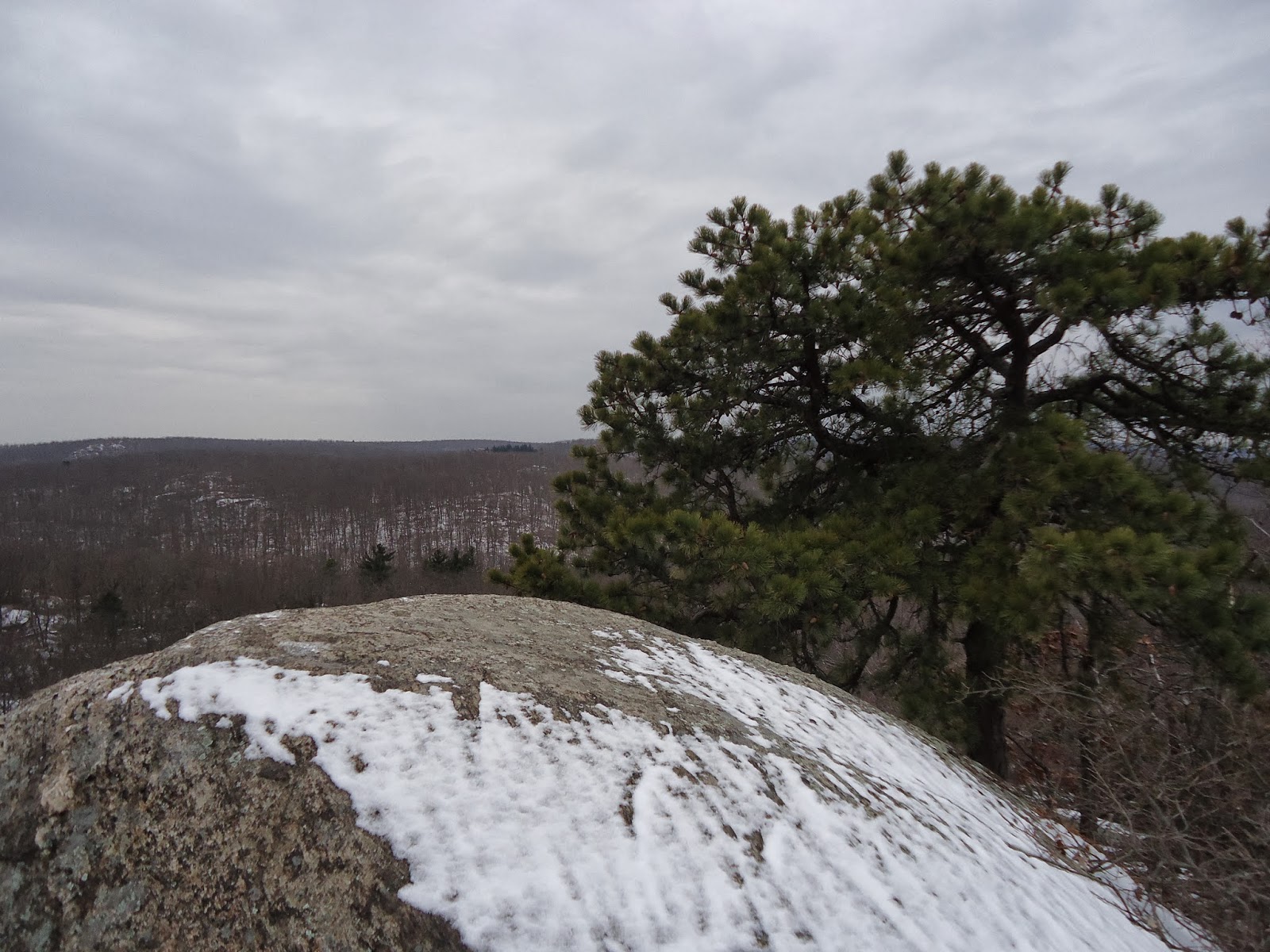
| Hill of Pines - very nice view |
 |
| I do believe he's smiling |


 |
| Rattlesnake Hill summit |
 |
| Rattlesnake Hill summit |
 |
| After Rattlesnake Hill, the second half of the hike is easy, often following woods roads |

No comments:
Post a Comment