
December 27, 2013
Miles: 6.8 miles
Time: 3 hours 24 minutes
Parking: Book (and website below) provide GPS coordinates for the parking lot. There is an $8 parking fee.
Time: 3 hours 24 minutes
Parking: Book (and website below) provide GPS coordinates for the parking lot. There is an $8 parking fee.
Rest rooms: In the parking area.
Map: The book provides a map. There were also maps (rough drawn) next to the parking fee area.
This online map is the most clear: Sugarloaf Ridge Map
Hike directions: 60 Hikes within 60 Miles, San Francisco
Also online at: Sugarloaf Ridge State Park
Hike description: The trails are a combination of pavement, fine gravel, and dirt. This hike is listed as moderate, but we found it strenuous. Hiking poles are recommended, as some of the dirt trails going down are very steep. 360 degree views at the summit, overlooking wine country. The trails are not very crowded. Preferably bring the online map & read the hike description carefully. There was a right turn right before the summit, which felt right, but looked wrong (based on the poor level of detail of the handout map). We saw people behind us also standing at the intersection looking around. Also, descending from the summit, there are multiple trails - the one we had to take was not marked, until we had descended a ways.
Post hike dinner: The Plant Cafe, Burlingame, CA. We love this place! Not vegetarian, but the vegan items on the menu are identified.
This location is about a 12 minute drive from San Francisco airport. It is a bit trendier than the Mill Valley location. It was hopping!
They have craft beers and vegan desserts as well.
Year to date miles: 414.5


 |
| This hike is in the Napa/Sonoma area. The drive to the hike passes by tons of wineries. |

 |
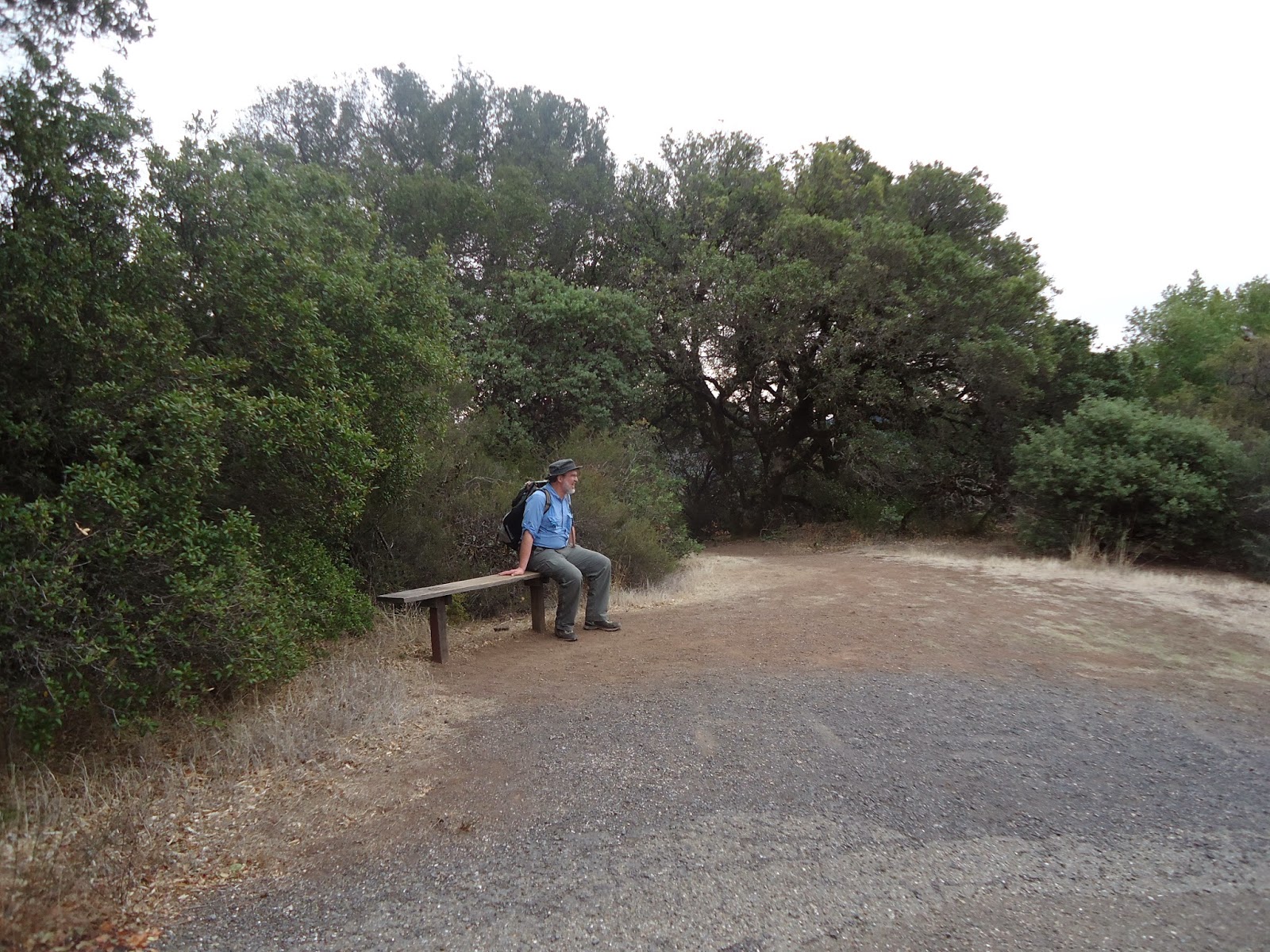
| Trail head at the parking lot. We started on Lower Bald Mountain Trail. |
 |
| This is a good map of the trail. |
 |
| We started off on a dirt trail. |
 |
| This is a manzanita tree. The limbs on them are beautiful - smooth, red, and twisted. |
 |
| Mountains under the clouds in the distance. Lots of green here for the end of December! |
 |
| Bald Mountain trail is paved (it gives access to the microwave tower on Red Mountain). It keeps climbing uphill, so it is tiring. |
 |
| At the summit there are signs showing the various mountains you can see in the distance. We could see Mount Tamalpais, which we hiked earlier in the week. |
 |
| 360 degree view at the summit |

 |
 |
| Descending from the summit |
 |
| The descent is on dirt/gravel. It is very steep and we kept sliding. |


 |
| These we assume are Gray Pines (for which the trail was presumably named). The pine cones are huge! |
 |
| The trail passes by an observatory near the end |


 |
| Driving through Sonoma, there are signs like this everywhere, pointing to various wineries. |
No comments:
Post a Comment