Distance: 4.3 miles
Time: 2 hours 17 minutes
Map: Massachusetts Trail Guide (The book comes with a map which includes this area. Unfortunately the map is on thin fragile paper, but I haven't found better quality MA maps). This isn't the route described, but this shows the trail - Long Mountain
Parking: Harris Mountain Road, Amherst, MA. The Metacomet-Monadnock trail crosses the road. There is parking on both sides of the road (room for around 10 cars total). This is a less used parking area for sure, compared to the very crowded Notch Visitor Center. Fewer hikers as well.
Restrooms: None
Post hike dinner: n/a
Directions: On each side of the road there is a sign/map showing the portion of the trail. You will want to head down the trail on the west side of the road (the map will show Long Mountain if you are on the correct side of the road). The M-M trail is white blazed. The trail sometimes ascends and descends. I didn't find a summit marker. There wasn't a view from what I perceived to be the summit, but just past the summit, there is a view of Mt Norwottuck. Continue going downhill. On the left there will be a red blazed trail (called the Link Trail). Turn left onto it. It isn't well blazed at all, however, it is a pretty obvious wide trail. Eventually it dead ends at a woods road where you can go left (private) or right. Turn right - this is the Hollow Trail. I didn't notice any blazes at all on this trail, but it is easy to follow. When it ends, turn right on the white blazed M-M trail, continue back up to Long Mountain and the parking area.
Notes: This is a less crowded hike than others in this area. We met a few hikers on the M-M trail. No hikers on the Link & Hollow trails.It looks like there is a small pond off of the Link Trail, but really I wasn't sure if I saw it. Maybe it was filled in with grass.
 |
| Parking area |
 |
| Trailhead |
 |
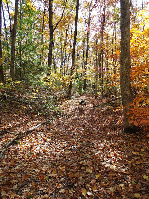
| Leaves everywhere. |
 |
| Just past the summit of Long Mountain is a view of Mt Norwottuck to the west. |
 |
| Blazes for the turn onto the Link trail. |
 |
| No one on this trail - so time to run! |
 |
| Not sure I got the photo order correct, but there is a numbered tree where the Link trail ends at the woods road. Turn right onto the woods road. |
 |
| At the end of the Hollow Trail, there is a marker again. Turn right onto the white blazed M-M trail. |


No comments:
Post a Comment