August 5, 2013
Distance: 2.6 miles
Time: 1 hour 50 minutes
Year to date miles: 181.4
Driving directions: From Stykkisholmur, take route 58 south. Turn right on 54 west. Pass through the town of Grundarfjordur. 54 turns into 575. 575 turns into 574. Pass the town of Olfsvik. 574 turns into 573. Pass the towns of Rif and Hellisandur. Turn left at sign for Eysteinsdalur Snaefellsjokull. There is a sign on the gravel road at the parking area for the start of the hike. There is room for around 2 cars to park.
Map: Mal og menning, Map 10, Snaefellsnes (purchased from
Omni Maps), also
Trails in Snaefellsjokull
Parking: See above.
More info:
Snaefellsjokull National Park
Restrooms: None
Hike directions: We chose 5 short hikes, all start from the same gravel road. This was the first hike we reached on the road. It is described as hike #10 in
Trails in Snaefellsjokull. We just followed the red tipped posts. This is a lollypop hike.
Lodging after: Hotel Egilsen, Stykkisholmur
First...photos from the drive to the trail. Notice the lack of trees anywhere! Trees in Iceland are very unusual - when we saw them, we assumed they had been planted by someone.
 |
One of the first lava fields we saw up close - from our car window. Glen was so excited.
By the end of the trip, it was like - yeah, another lava field. They are all over. |
 |
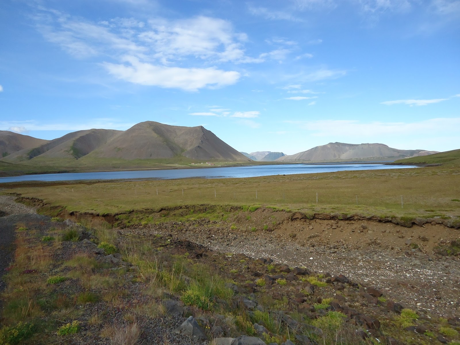
Just a view along the drive. We just stopped and parked on the road to take this photo.
It is very common to see tourists just stop on the road, get out of their cars, and take photos. |
 |
| A mountain just past Grundarfjordur. I believe ropes might be necessary to climb it. |
 |
| The beautiful Kirkjufell. Super steep scree covered sides. |
 |
| Remains of a farm. |
 |
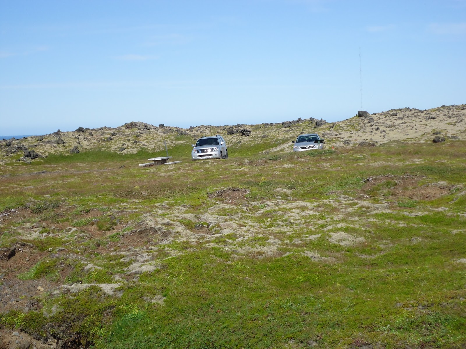
| Sign for the gravel road |
 |
| Sign at the trailhead |
 |
| Parking - on the other side is the lava field, I believe caused by this crater. |
 |
| The trail is marked with red tipped posts. |
 |
| We saw a surprising number of wildflowers, which grow right amongst the lava rocks. |
 |
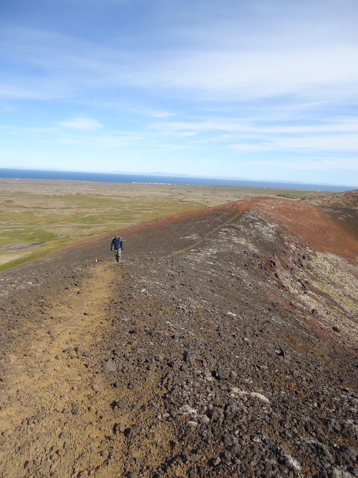
| From the top of the crater |
 |
| The trail circles the top of the crater. |
 |
| Sheep in the valley |
 |
| Returning next to a stream |
 |
| Black lava sand on the stream bank |
 |
| Lava along the stream bank |


No comments:
Post a Comment