Saturday, July 28, 2012

Welch Dickey Loop, White Mountains

July 7, 2012
Distance: 4.2 miles
Time: 3 hours 44 minutes
Map: AMC White Mountains Trail Map Set
Parking: Large parking lot
Restrooms: Yes, in parking area
Pre hike breakfast: Local Grocer
Post hike dinner: n/a
Directions: AMC White Mountain Guide
Follow Welch Dicky Loop Trail. I believe we went clockwise.

Notes:
I would avoid doing this hike if it is rainy.
There are ledges & steep inclines, which would be dangerous if the rocks were slippery.
This hike can be an issue if you have vertigo.
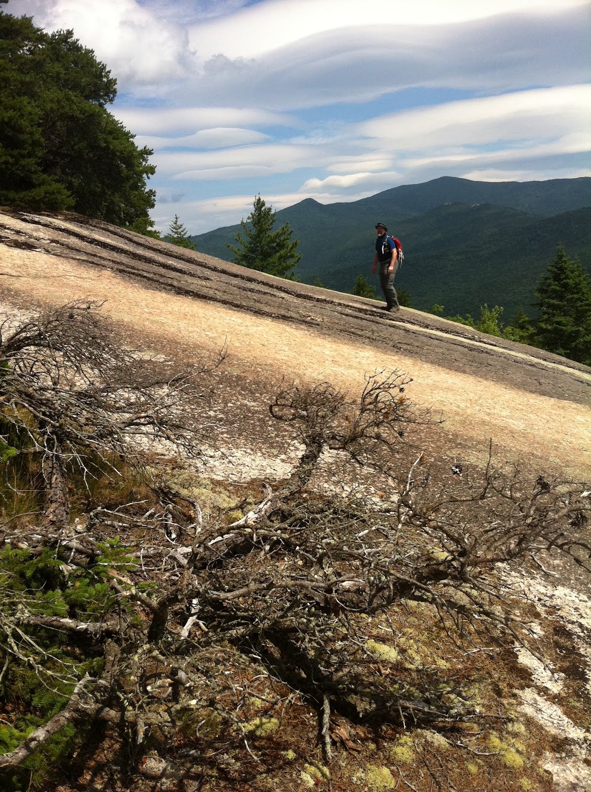
It goes over 2 mountains, and the views are amazing.
There are views over almost all of the trail, not just on the summits.
This is a very popular trail, though we mostly saw people just near the beginning of the trail.
We kept the dogs on leash during most of it, due to the fragile vegetation.

Hiking List: 52 with a View

Year to date miles: 251.7


Portion of the very large parking lot. Lots of cars when we arrived, close to empty when we left.
Logs and stones are set up to protect fragile vegetation on the rocks.
First overlook, not a summit yet.
More protected areas.
Glen in the background giving perspective.
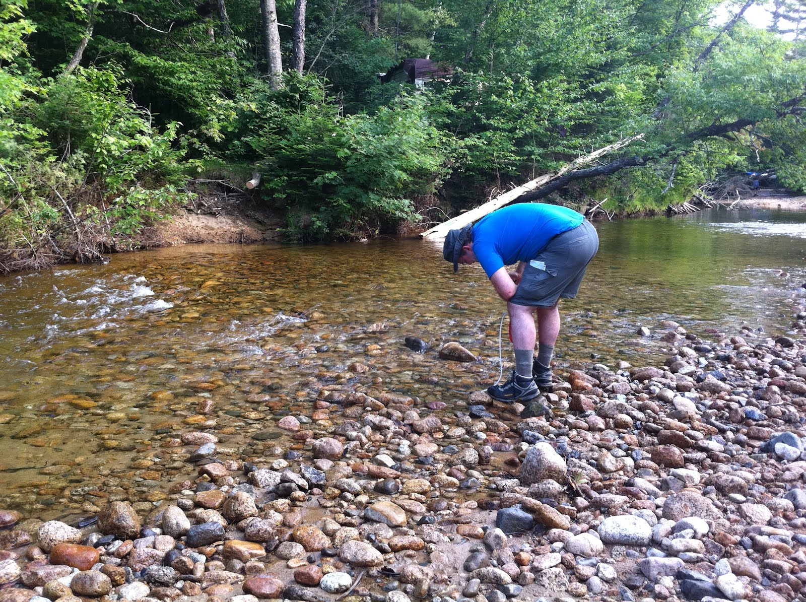
Taking a break to cool down
Much of the trail is like this - steep granite rocks to run up.
Cairn in col between the summits
Entering the woods for a short period
So much work for whomever put in these stone steps

Church Pond Trail, White Mountains, NH

July 6, 2012
Distance: 2.3 miles
Time: 2 hours 2 minutes

Map: AMC White Mountains Trail Map Set
Parking: Kancamagus Highway parking lot, in Passaconaway campground. Space for 1 car? The hike starts in the campground - and we weren't sure where to park. The trail started right next to the campground caretaker's RV, so we verified with him that we could park right in front of the trailhead, and he said okay. The other option is parking in the large parking lot across the street from the campground.
Restrooms: yes, in campground
Pre hike breakfast: Local Grocer
Post hike dinner: Flatbread Company
Directions: AMC White Mountain Guide
Church Pond Trail to pond.

Notes:
We wanted to take the dogs swimming after our Mt. Potash hike, since that had been such a hot hike.
This hike is level and right across the street from the Mt. Potash trailhead, so we thought it would be an easy walk to a lake for swimming.
The book warned about the trail being muddy. At first I thought they were exaggerating.
They weren't. It was the kind of mud that sucks up your boot & doesn't want to give it back.
I think you need a sense of humor to enjoy this hike :)
This looks like it would be a good trail to spot moose.
We did end up having to bushwhack a very short distance to reach the lake shore.
There wasn't a great place to stand right next to the lake - everything was swampy.
We only saw 2 people on this hike, and that surprised me.

Year to date miles: 247.5

The hike starts with a river crossing. It doesn't look deep, but it ended up being mid-thigh deep.
I recommend water shoes. Other people from the campground were kayaking/swimming in the river.
Caretakers RV above the river
Glen filtering water
The guide said that part of the Church Pond Loop trail was closed, so we did an out and back.
Moose print
Ski trails weren't marked on the map.
There were wood logs to walk on, but they were mostly rotted, and sometimes just sunk under the mud.
View of the lake. We met a couple of guys camping near the lake in a clearing. From there it was a short bushwhack to the
shore. The shore was a bit muddy/not solid footing too.
The water was quite brown
Overgrown trail
Sunset in Intervale, later that evening