| Date |
Distance |
Time |
Elevation Gain |
Average Moving Time |
Year to Date Miles |
| 4/9/2025 |
1.5 miles |
1 hour 21 minutes |
297' |
2.2 mph |
107.6 miles |
Parking: - Blue Ridge Parkway, mile 408
Map:Directions:- Take the gravel road to the summit. Return the same way.
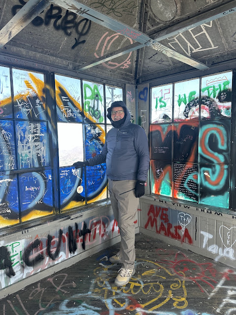
Phyllis, Paul, Glen, Krumm and I went for a hike on the parkway. A bit of the parkway is open up here near the Pisgah Inn, so it was nice to see those mountain views again! We had a short hike up to the tower. We took turns climbing it, so someone could stay at the bottom with Krumm. We spent some time talking to a hiker from Massachusetts, who fell in love with Krumm.
After our hike, we drove back to Asheville and did a walk around Beaver Dam Lake. Lots of turtles and birds today. We saw a green heron. Glen used his AI app to create a photo of Paul holding two of them, lol.
 |
| Glen and Krumm below the fire tower |
 |
| Looking out at Looking Glass Rock |
 |
| Still not much green at this elevation. |
 |
| A green heron |
 |
| AI generated image |


No comments:
Post a Comment