| Date |
Distance |
Time |
Elevation Gain |
Average Moving Time |
Year to Date Miles |
| 5/7/2025 |
1 mile |
1 hour 2 minutes |
291' |
1.3 mph |
149.3 miles |
Parking: Map:- Gai GPS, plus see map photo below
Directions:- From the parking lot, we took the trail and where it split, took the route up that said it was the improved trail. We followed the trail up the summit, going up many stairs. On the way down, we took a much rougher trail. I guess this is the unimproved route. Gaia didn't show it connecting all the way, but we figured it would, and we were right. This route was very rocky and somewhat steep, so we had to be really careful with our footing.
We first went to the trailhead for Hogback Mountain, but there were signs up saying you needed a Michigan Recreational Passport to park there, which we don't have, and I didn't see a way to purchase at the trailhead. So, we tried the trailhead for Sugarloaf Mountain, which had no such requirement. This trail is a lot of bang for your buck. It's short and brings you to stunning views of Lake Superior. The water is a brilliant blue. I don't recommend the way we went down. Going down the steps is much easier.
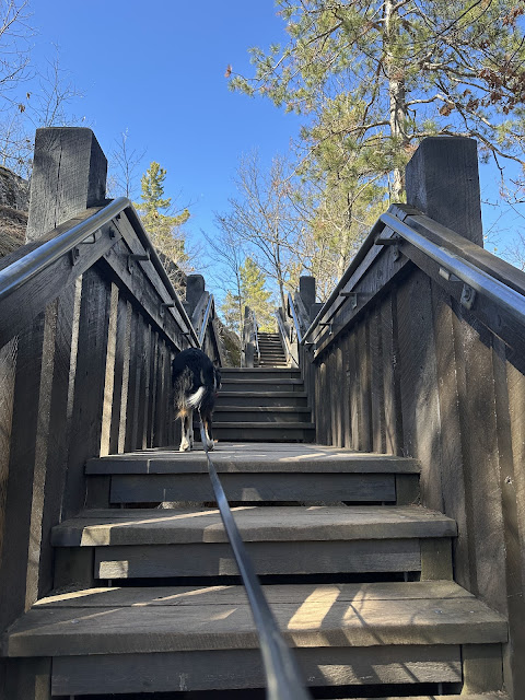 |
| The easy way up. |
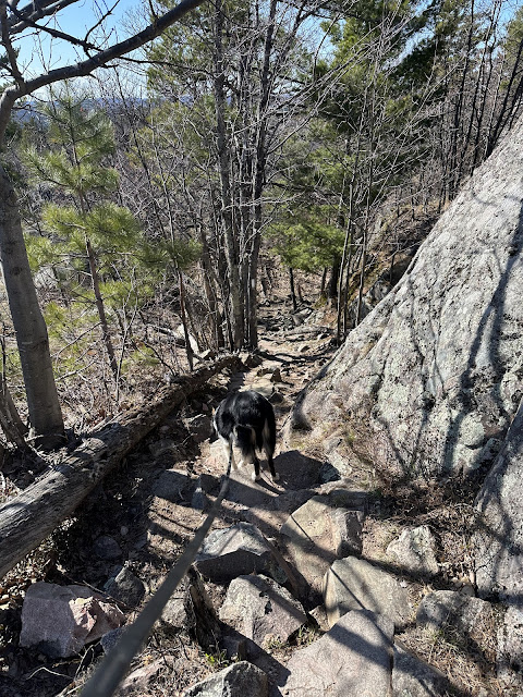 |
The tough way down. Rocky and steep.
|


No comments:
Post a Comment