| Date |
Distance |
Time |
Elevation Gain |
Average Moving Time |
Year to Date Miles |
| 5/7/2025 |
0.2 miles |
23 minutes |
44' |
1.2 mph |
148.3 miles |
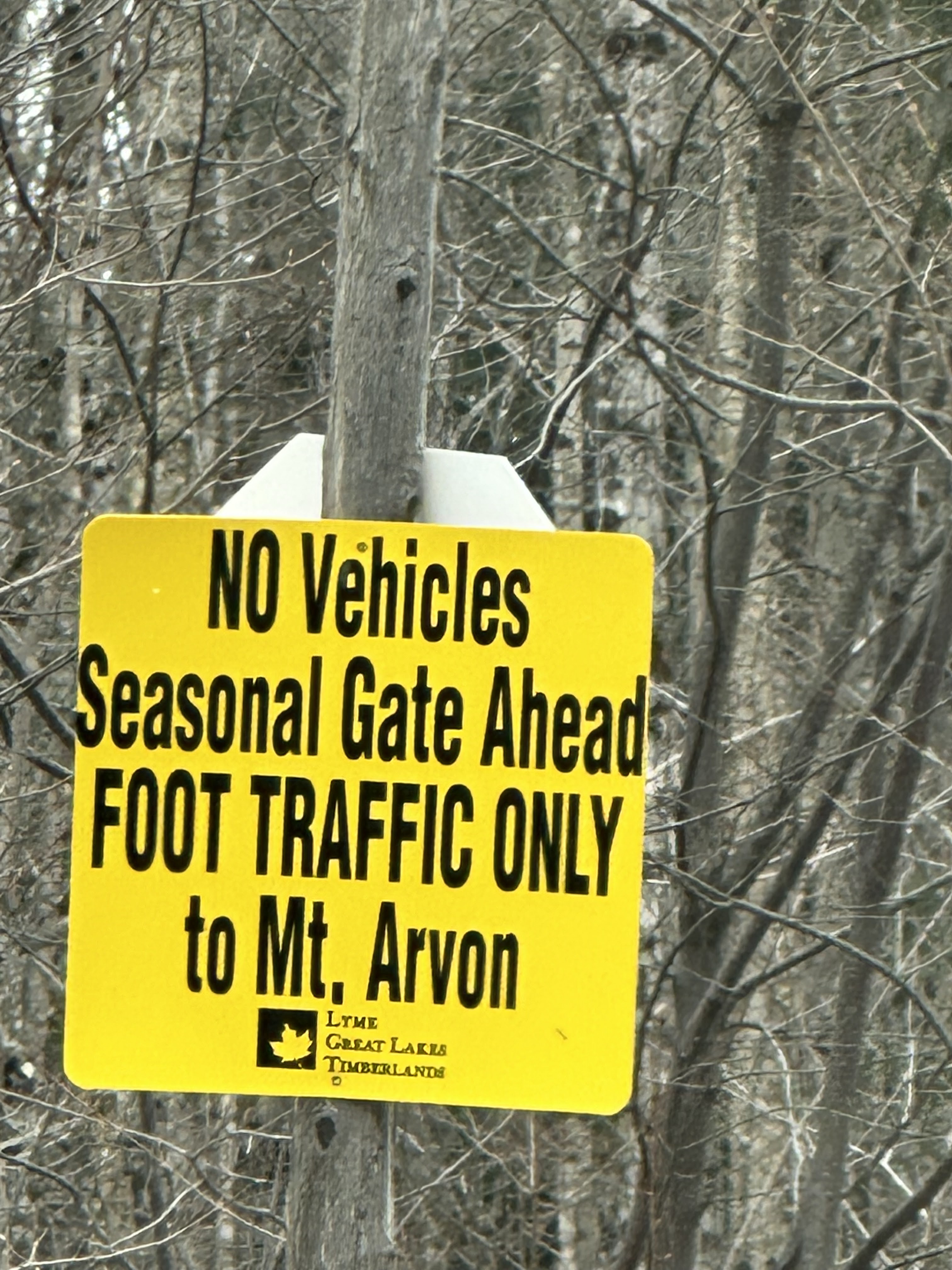
Parking: - See Mount Arvon : Climbing, Hiking & Mountaineering : SummitPost. Do not follow Google Maps directions! Once you see the blue signs to the summit, follow them on your drive. We passed through a half open gate. On the back it said the road was closed in March, April, and May. But it wasn't closed. If the gate is closed, there is a trail from the gate to the summit.
Map:- None needed once you do the drive. You can see the summit from the parking area.
Directions:- You can see the summit from the parking area. There is a short loop that you can hike that brings you to a view before returning to the parking lot.
This was our second attempt to at Mount Arvon. We did a bunch of research last night - not on the hike itself, but on the drive to the hike. This area is in dire need of more superchargers. We charged our car to 100% before taking off. That gave us enough to get to the highpoint and back with 20% charge left. This time, rather than doing 30 miles of back roads, we drove to L'Anse first and then followed the directions from the summit post website. It was still many miles on gravel roads, but this way was much better than yesterday's drive. We've seen many posts about how the road is only suitable for ATV's or trucks, but we found it fine. It's really only the last couple of miles that are rough, but we've driven on much worse in our car (including the road to the section of the AT that we maintain). We just took it slowly and it was fine. There's a gate that appears to be closed sometimes, but it was open today, so we were able to drive to about 30 yards from the summit. We were really excited to have reached it. We only saw two cars on the back roads - a truck & a Jeep. But we made it in our regular clearance car. We hiked the loop at the top, which was well worth it, because it has a view of Lake Superior. This is state high point #27 for me and #26 for Glen. When we were done, we headed back to the charger in Marquette to charge up before we did any more hiking.
 |
| Several miles of the gravel road looked like this - easy to drive on. |
 |
| Once you see these bright blue signs, follow them. |
 |
This stop sign made me laugh.
This is in the middle of nowhere and you can only drive 10-15 mph anyways. |
 |
Not sure what this is about.
But we did drive through a half open gate. |
 |
| Sign in the parking area |
 |
| Map of the short 0.2 mile loop on the summit |
 |
| Summit register |


No comments:
Post a Comment