Sunday, April 20, 2014

CT Appalachian Trail - Section 3 - West Cornwall Road to Caesar Brook

April 20, 2014

Miles: 5
Time: 3 hours 37 minutes  (going slow today)

Parking: West Cornwall Road, room for only 3 cars in a narrow area off the side of the road. In the winter, there was no parking here. GPS coordinates: N 41 degrees 52.409', W 073 degrees 23.467'.

Rest rooms: none

Hike directions: 
From parking area, head into the woods (same side of the street).
Cross a log bridge over Carse Brook (deep enough for swimming dogs). 
Hike to Caesar Brook, just north of the campsite.
Return to car.

Map: Appalachian Trail Guide to Massachusetts Connecticut  or Connecticut Walk Book West

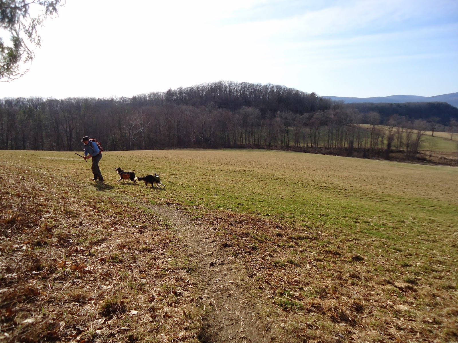
Hike description: This hike had a lot of incline without much in the way of views. 
The swimming in the brook was fun though!

Year to date miles:   131.6


Brook crossing at the beginning of the hike. Deep enough for swimming.
We stopped here on the way back to swim the dogs.

So happy to start seeing wildflowers


The hike feels like it ascends a lot, but no named summits.

Looks like house remains, just before Caesar Brook

Taking a break for a snack, and to throw sticks  into Caesar Brook

Saturday, April 19, 2014

CT Appalachian Trail - Section 2 - Iron Bridge to Garnett Brook

April 19, 2014

Miles: 9
Time: 4 hours 54 minutes  
Elevation gain: 2,659 feet

Parking: Housatonic River Road, at Great Falls, Amesville, CT

Rest rooms: none

Hike directions: 
From parking area, cross street and start up trail into the woods. Hike north to Mt. Prospect, Rand's View (meadow with mountains in the distance, Giant's Thumb (an unusual rock), Raccoon Hill, Billy's View, to Garrett Brook. Return to parking area, and then head south to Iron's Bridge. Turn around and return to parking area.

Map: Appalachian Trail Guide to Massachusetts Connecticut  or Connecticut Walk Book West

Hike description: This hike had hills, but nothing very steep. A lot of the trail was dirt, which was really nice on the feet. Rand's View is phenomenal - huge meadows with mountains in the distance. What a spectacular view, worth visiting again. A great place to stop and have a lunch. We stopped and threw a tennis ball for the dogs (we now pack a tennis ball in one of their packs for moments like this).

Year to date miles:   126.6


Parking area. The top of a very powerful waterfall - Great Falls.

We crossed the street from the parking area and headed north.

View from Mt. Prospect


Rand's View, the highlight of the trip.
Trek carries a tennis ball in his pack for moments like this.


Billy's View was a good place to stop and have a snack on some rocks.


We had to stop by Rand's View again and throw more balls for the dogs


Passing by the parking area at the top of the falls

Iron Bridge
Great Falls -  a powerful waterfall with a hydroelectric plant

Saturday, April 12, 2014

Charcoal Burners/Cabot/Perkins/Fahnestock Trail Loop

April 12, 2014


Distance: 7.2 miles
Time: 4 hours 30 minutes (our time was very slow - we stopped at all 3 lakes to swim our dogs)

Year to date miles 117.6

Map: East Hudson Trails Map
Parking: Plenty of roadside parking. See directions.
Restrooms: none

Directions: Charcoal Burners/Cabot/Perkins/Fahnestock Trail Loop

This is our favorite hike in Fahnestock. It has so much variety. The hike passes by 3 lakes, all of which are great for swimming dogs. The hike also parallels a stream a ways. Part of this hike is wooded, and part of it goes through fields. Sometimes some of the fields have fenced areas with livestock in them. The hike also passes a therapeutic riding facility with a beautiful barn. The hike can be buggy in the summer, but on the other hand, it makes a perfect summer hike due to the lakes.

Hike photos are not in order...


Sunday, April 6, 2014

Dickie Barre, Peters Kill and Awosting Falls Loop, Shawangunks

April 6, 2014

Distance: 7.5 miles
Time: 4 hours 
Year to date miles: 110.4

Map: Shawangunk Trails

Parking: See directions link. However, parking is always crowded here! The West Trapps lot was full, so we parked at the Cox Parking lot, which worked fine, as the hike passes it. This parking lot has self service envelopes for paying ($12 for hikers).

Restrooms: In each parking lot

Directions: Dickie Barre, Peters Kill and Awosting Falls Loop

This area is very popular and has a lot of carriageways (very wide easy paths). The first half of this hike is on moderate/strenuous trails with a small amount of rock scrambling. The second half is on easy carriage roads. We kept the dogs on leash for the whole hike, as there were many people on the trails. Also, the carriageways are open to mountain bikers at least during some of the year. We saw very few people on the hiking trails once we got off the carriageways. The views in the gunks are amazing, even in the beginning of spring, when everything is still very brown. The trailed portion of the hike was pretty much snow free. The carriage road near Awosting falls was very icy.


An alternate parking area to the West Trapps lot

Trails are well marked

Classic gunks view


The start of the carriage road section of this hike

Awosting Falls

Even when there are no leaves on the trees, there are beautiful green pines at the gunks.

Single file hiking

Saturday, April 5, 2014

Bull Hill (Mt. Taurus) via Lone Star/Nelsonville/Washburn/Undercliff Trails Loop

April 5, 2014
Distance: 5.7 miles
Time: 3 hours 30 minutes
Year to date miles: 102.9

Map: East Hudson Trails Map

Parking: See directions. Small pull off on the side of the road.

Restrooms: None
Post hike dinner:  None

Directions: Bull Hill

Hike description: Marked as strenuous, but it wasn't too bad actually. Several good views along the hike. The white trail was crowded. Even though it was a chilly very windy day, there were many hikers on it. The yellow trail has a couple of turns which are easy to miss. Read the comments below the hike directions on the NYNJTC site. We missed two turns on the trail, which other people commented about - even though we were paying attention to the blazes. The yellow trail also had a variety of blaze styles, which was a little confusing. We had a 2010 and 2012 map with us. We saw a blue trail off of the Nelsonville Trail, which was on the 2010 map but not on the 2012 map. 


Sign at the parking area

Sometimes the trail is along easy woods roads

Knock out views

Taking a break to take in the view


The first spot we missed a turn, shortly after starting on the yellow trail.  Trek actually found the right way.

This hike has one road crossing (thought it is just a road to someone's private property & a parking area for the trail)

The trail crosses the Aqueduct