Sunday, February 23, 2014

Pocantico Hills Loop Walk, Rockefeller State Park

February 23, 2014

Distance: 5.6 miles
Time: 3 hours 5 minutes
Map: Rockefeller State Park Preserve Trail Map

Parking: See directions. The GPS coordinates were spot on. We parked at the end of the road, making sure not to block the private drive next to the trail.

Restrooms: None. Plus there tend to be a lot of people on the trails...
Post hike dinner: none

Directions: Pocantico Hills Loop Walk As you can see from the map, there are many trails/intersections in this park. Not all of the trails are marked. We had to refer to the map frequently. Before starting on the hike, we spent some time with the map and a highlighter, highlighting the trails we would be taking.

Notes: Pretty hike. Very popular area for walkers. We saw other dogs, but all were on leash. The trails are easy, so in general a good place to snowshoe. We didn't see any other snowshoers - only a handful of skiiers and everyone else was just walking in boots. My one issue with snowshoeing there today - these are wide carriage roads, but only a narrow trail was packed down. The rest of the snow was too soft, so snowshoes wouldn't help. We walked on the packed down part of the trail, but it was very narrow - thus the outsides of our snowshoes were on much higher snow than the insides. Just made for more uncomfortable walking. Even the dogs walked single file most of the time.

Year to date miles: 52.2


We had to park on the left side of this narrow road

We started on the Old Croton Aqueduct trail


We turned right immediately after this weir

Leaving the Croton Aqueduct trail. The turn after the weir. Two sharp rights.

The trail signs in Rockefeller State Park look like this.

This hike has a LOT of bridges

Bridge #1 on the 13 Bridges Trail

Bridge #2 on the 13 Bridges Trail

Bridge #3 on the 13 Bridges Trail

Bridge #4 on the 13 Bridges Trail

Bridge #5 on the 13 Bridges Trail

Bridge #6 on the 13 Bridges Trail

Bridge #7 on the 13 Bridges Trail

Bridge #8 on the 13 Bridges Trail

Bridge #9 on the 13 Bridges Trail

Bridge #10 on the 13 Bridges Trail

Bridge #11 on the 13 Bridges Trail

Bridge #12 on the 13 Bridges Trail

And finally, Bridge #13 on the 13 Bridges Trail

Saturday, February 22, 2014

Red Hill, Catskills

February 22, 2014

Distance: 4 miles
Time: 2 hours 55 minutes
Map: Catskill Trails Map Set, Map #143


Parking: See directions. However, we couldn't park that close, because the road wasn't plowed to the trailhead. We parked at the snow plow turn around (where there are signs saying you will be towed if you park there, but hey it wasn't snowing so we didn't worry too much). From there you can hike downhill to the trailhead. There are private property signs on both sides of the unplowed road that we hiked on to get to the trailhead.

Restrooms: There was one at the summit, but it was locked.
Post hike dinner: none

Directions: Red Hill Fire Tower

Notes: This hike is listed as easy. There was a thick base of snow (2+ feet) which was wet. The trail was pretty well broken, but we did sink down a number of times, especially on the way back down. We were very slow going up, stopping to rest many times. 

Year to date miles: 46.6 


Parking at the snow plow turnaround

The road to the trailhead.
I guess in the summer, you can drive down this.

Good day for snowshoes, and the trail was already broken by hikers from another day.

Passing by a private driveway

This is where the hike directions start from


I made it up to around 2/3 of the way up to the top of the fire tower. I'm not very brave about fire towers, and today the tower had snow and ice on the landings.

Saturday, February 8, 2014

Overlook Mountain, Catskills

February 8, 2014

Distance: 5 miles
Time: 3 hours 30 minutes  
Map: Catskill Trails Map Set, Map #141
Parking: Meads Mountain Road, Woodstock, NY. Room for around 20 cars.

Restrooms: None.
Post hike dinner: Garden Cafe on the Green, Woodstock, NY (5 minute drive)

Directions: Overlook Mountain 

Notes: This hike is listed as easy. There is a wide road with a gradual incline. It took us around 2 1/2 hours up, and 1 hour down. I used snowshoes the whole way. There were a lot of hikers & dogs on this trail. I had to get off the trail a lot, because one of my dogs doesn't like other dogs running up to him. The snow was nicely packed, so we didn't need to break trail at all. Being winter, we didn't see any rattlesnakes :) However, what caught us off guard - we saw people skiing, snowboarding, and sledding their way down. They hike up with whatever gear they have, then slide down. What fun! One of our dogs was good about getting out of the way, the other one I had to hold onto so she didn't chase them.

Year to date miles: 42.6


Sign for the parking lot

Which is across the street from a Buddhist monastery (complete with prayer flags), which you can visit

The start of the trail

This area is known for having many rattlesnakes, one of the reasons we chose to do it in the winter.


The trail is wide with a gradual incline all the way up.

At around 2 miles, you reach the ruins of a hotel. There are signs saying not to enter it, but most people do.


1/2 mile more to go after the hotel ruins

Fire tower on the summit

There were a couple of buildings near the fire tower. If you go to the right of this building there is an overlook (we skipped this). In the summer, there is sometimes a volunteer that mans the fire tower.

The top of the fire tower was closed. I'm not keen on climbing fire towers, but I got 3/4 of the way up.

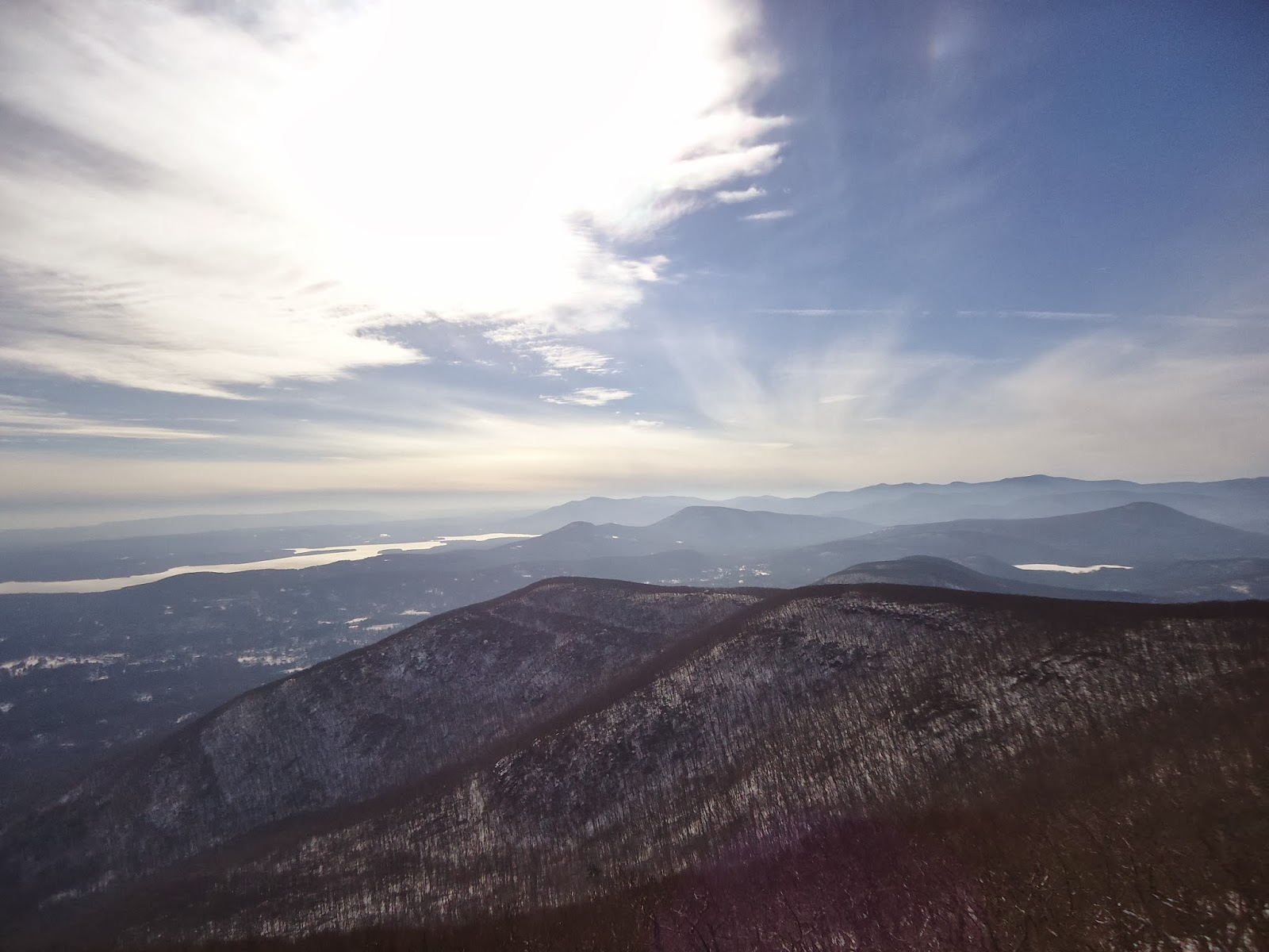
View from the tower.


Heading back down