Saturday, November 30, 2013

Irish Mountain and Pound Swamp Mountain, Harriman

November 30, 2013

Distance: 6.1 miles
Time: 4 hours 6 minutes
Map: Harriman - Bear Mountain Trails (north map)
Parking: Gravel area parking area on Route 106, just east of Beaver Pond Campground and Lake Welch. 
This is the same spot you park to see the ORAK ruins.
Restrooms: none
Post hike dinner: none
Directions:
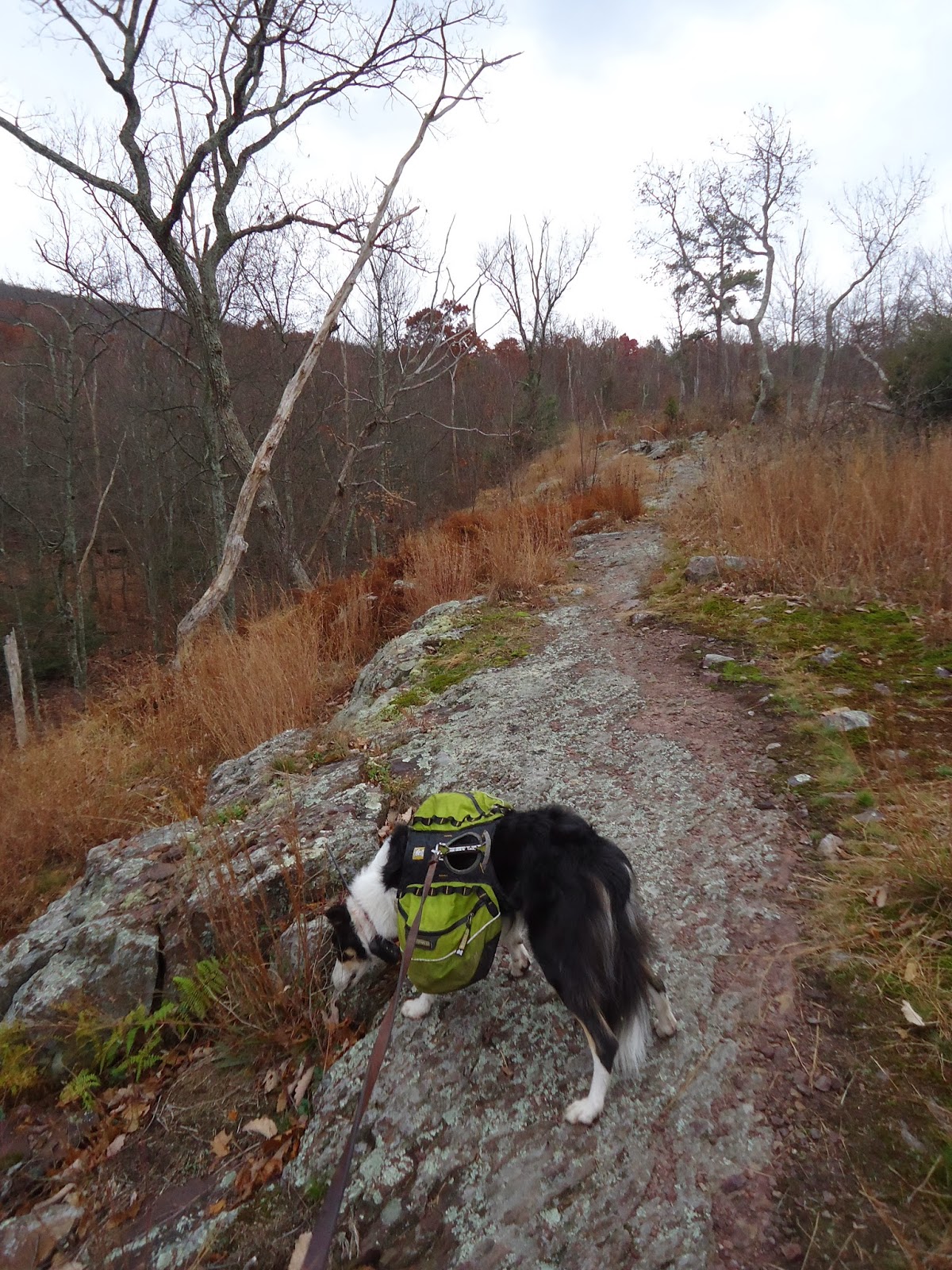
This hike follows the yellow blazed Suffern-Bear Mountain trail.

From the parking area, cross the road and head left - walk along the road as it crosses over a stream. 
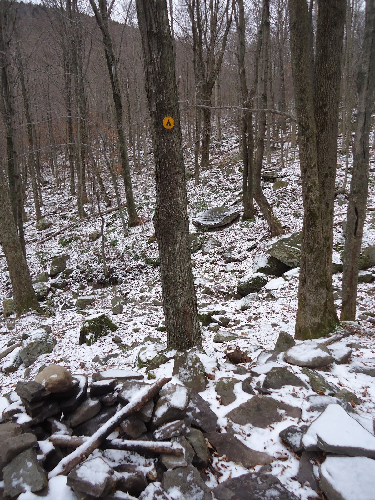
Look for the yellow blazes that leave the road, and head north.
Hike to Irish Mountain, the site of the Irish Potato rock.
From there, the trail heads to the right of the rock.
Upper Pound Swamp comes to view on your right, and the trail turns briefly left.
Later, the trail turns left again, leaving an unmarked trail straight ahead that leads to the swamp.
Later the trail turns sharply left.
Leave the trail at this point and hike straight ahead to do a short bushwhack to Pound Swamp Mountain.
There weren't really any views on the summit (only obstructed views).
Return to the trail, and continue north.
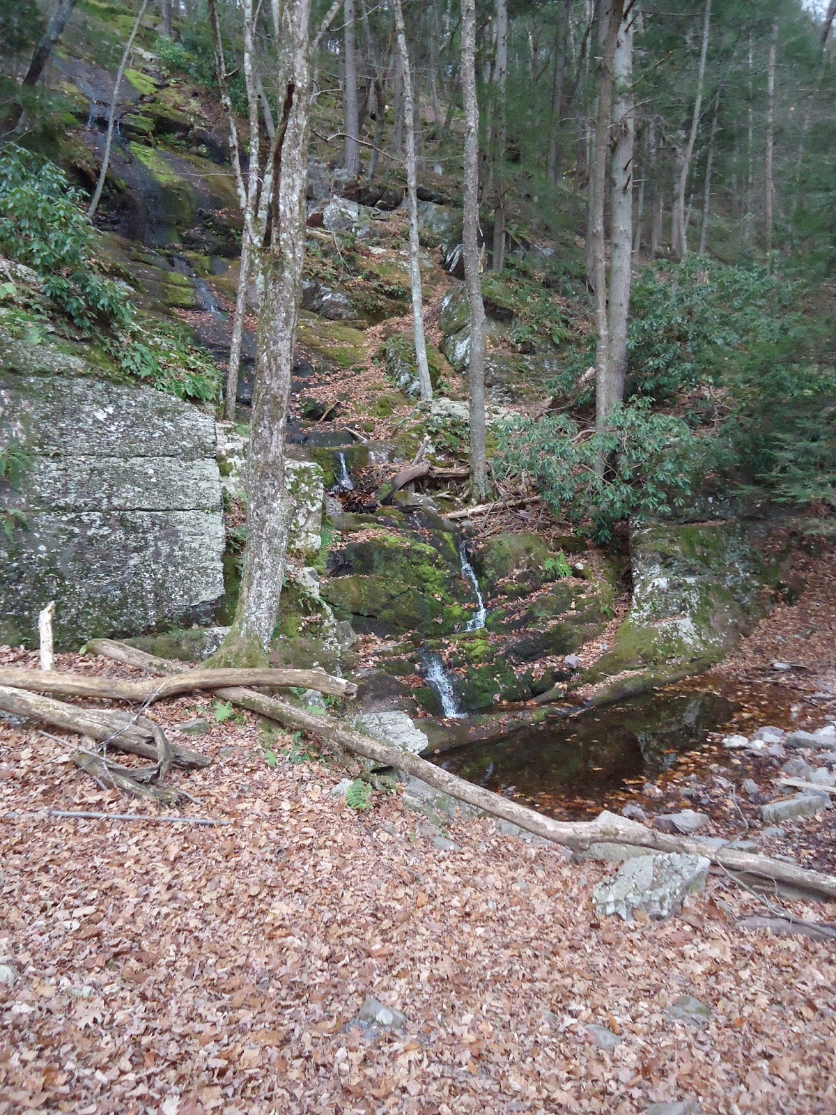
You will approach a stream on your left
The trail joins Lake Welch Drive (turn right) which goes over 2 lanes of the Palisades Parkway. 
Unfortunately, you still have to cross 2 more lanes of the Palisades Parkway.
Cars move very fast, and there was a lot of holiday traffic, so we just had to wait for a break.
On the other side, the trail climbs very steeply.
There is around 300 feet elevation gain in .15 miles, and it is a rock scramble.
Those with vertigo might have an issue here.
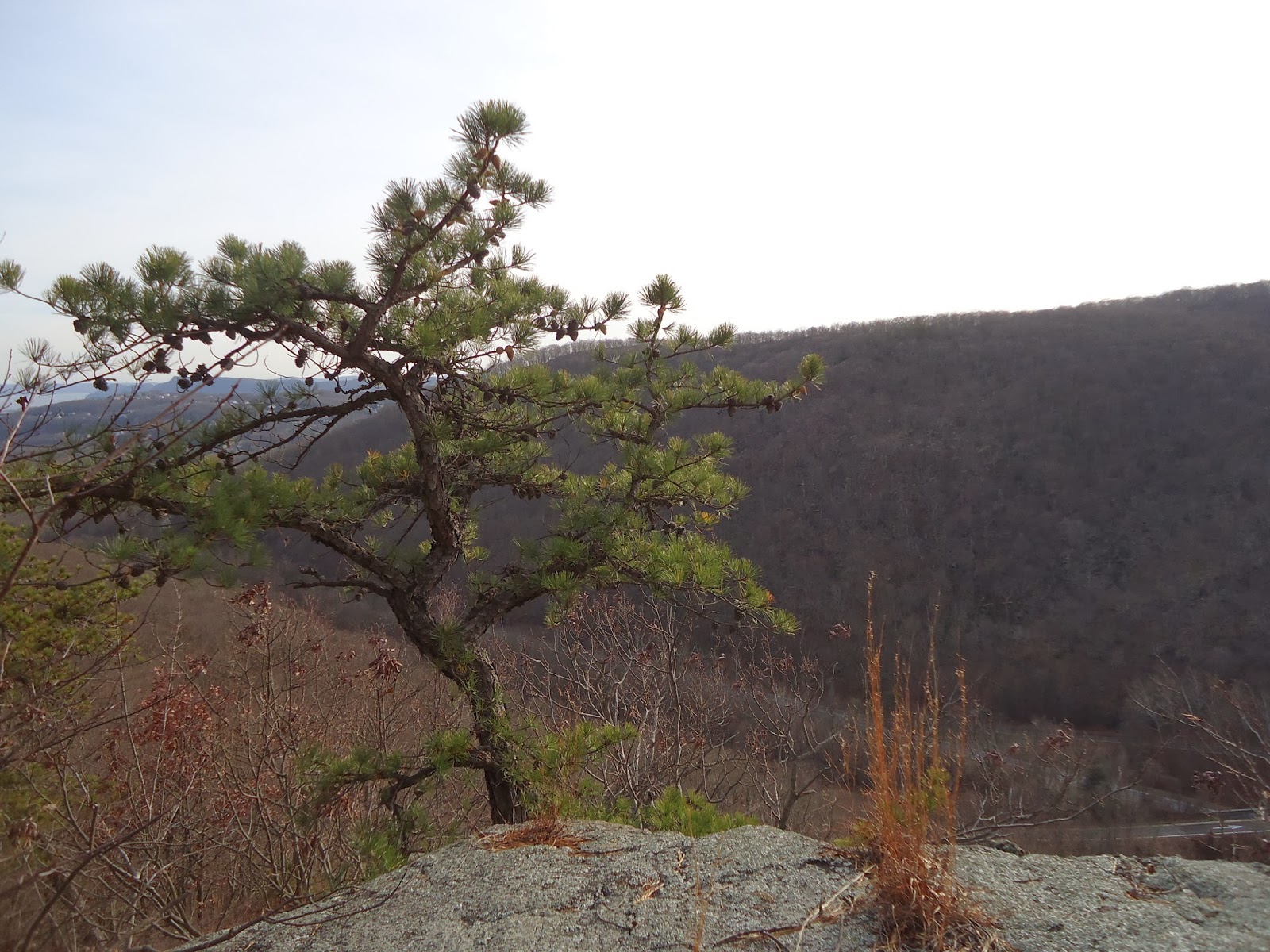
At the top of the rock scramble there is a view, though the view includes the Palisades, and lots of car noise.
Return back the way you came.

Notes:
This is an out and back hike. 
My GPS said that the total elevation gain was around 2413 feet, with 2000 feet elevation loss. 
No wonder I was so tired hiking today. Either that or the lack of coffee.
The swamp looks more like a pond, and looks like it would be a great place to take the dogs swimming in warmer weather.
I wouldn't do the part of this hike that crosses the Palisades again. 
Too much car noise, plus trying to do the rock scrambles with my dogs on leash - not fun.

Year to date miles: 375

The Irish Potato on Irish Mountain. Unfortunately has graffiti on it.

Approximate summit of Pound Swamp Mountain

Lake Welch Drive, crossing over 2 lanes of the Palisades Parkway (this is the easy part)

View climbing up towards Pingyp Mountain

The trail here is a very steep rock scramble, though you could probably find an alternate route to the right.

The top of the rock scramble. Somewhere around here is the Scutt Memorial plaque.

Saturday, November 23, 2013

Bald Mountain/Doodletown Loop from 9W, Harriman

November 23, 2013

Distance: 5 miles
Time: 3 hours 
Map: Harriman - Bear Mountain Trails (north map)
Parking: 9W, See directions
Restrooms: none
Post hike dinner: none
Directions: Bald Mountain/Doodletown Loop from 9W

Notes:
This is a loop hike. The hike up Bald Mountain is strenuous, but is short and has switchbacks. The blazes are much easier to find than last time we did this hike. The summit of Bald Mountain has gorgeous views. You can see the Bear Mountain tower from it. The end of the hike passes through Doodletown, a "ghost town" which has always fascinated me.

Year to date miles: 368.9


The start of the hike is on the left side of this bridge.

The end of the Cornell Mine Trail.
Turn right on the red on white blazed R-D trail.

Bald Mountain summit


Hudson River and Bear Mountain Bridge


We turned R on the 1777 trail (also called Pleasant Valley Road)

In Doodletown, there are signs marking prior home sites.


Looking back at Bald Mountain

We took a short detour to the Herbert Cemetery, one of a few cemeteries in Doodletown.

Signs at the cemetery said not to enter it

Doodle in Doodletown :)

Map of home sites


Sunday, November 10, 2013

Buttermilk Falls and Rattlesnake Mountain - attempt

November 10, 2013
Distance: 4.2 miles
Time: 2 hours 47 minutes

Map: Kittatinny Trails Map
Parking: We had a lot of problems finding the place. Driving includes gravel roads with potholes and one lane bridges. One road our GPS told us to turn on was crumbled pavement which then had downed trees across it.
Some of the roads that we drove on had no street signs, which also didn't help.
Parking lot: N 41 degrees 08.240', W 074 degrees 53.351'

Restrooms: None.
Post hike dinner: Chipotle (not close) 
Directions: Hiking New Jersey -  Buttermilk Falls and Rattlesnake Mountain

Notes:
Buttermilk Falls trail is very steep, especially at the beginning. It was hard to stop from sliding down on the dirt/leafy trail. I think next time, I'll hike from a different parking area.
There are bears in this area (some hikers we met saw a bear in a tree), and rattlesnakes on Rattlesnake mountain.
We didn't complete this loop hike. It was rainy and very windy, so we turned around.


Year to date miles 363.9


Parking area on Mountain Road

Buttermilk Falls - which is very, very dry right now

Kiosk at the bottom of the falls


There are man-made steps along next to the falls, along with 2 viewing areas.

The blue blazes of the Buttermilk Falls trail

Hiking along a ridge

Crossing a woods road, which was supposed to be our return trail  from the mountain.

Sign at the intersection with the AT

This section of the AT starts out as a wide woods road.

Saturday, November 9, 2013

Plateau and Sugarloaf Mountains, Catskills

November 9, 2013

Distance: 5.9 miles
Time: 6 hours 20 minutes
Map: Catskill Trails Map Set
Parking: End of Mink Hollow Road, Elka Park

Restrooms: None.
Notes: Catskill 3500 footer #29 & #30
Post hike dinner: Karma Road Cafe, New Paltz

Directions:
From the parking area, head towards the woods road. It is an un-blazed trail.
The trail will cross a stream a couple of times.
When you reach a tent sign and a sign for a spring (not facing you), look for the start of yellow blazes.
Follow the blazes of the yellow trail (away from the arrow sign for the spring).
You will see a shelter in the distance as you approach the intersection with the Devil's Path.
Turn right on the red blazed Devil's Path and head up to Plateau.
The trail is steep, and difficult with snow/ice.
The summit is unmarked, but once you've reached the highest spot, and you see a sharp right turn (start of a walk across the summit), turn back and head back to the intersection of the Devil's Path and the yellow blazed trail.
When you reach the intersection, go on the Devil's Path in the other direction up to Sugarloaf Mountain.
There are some very steep portions, one particularly difficult with dogs (they needed help getting up).
The summit of Sugarloaf is unmarked.
After reaching the summit, turn around, and again head to the intersection of the yellow blazed trail and the Devil's Path.
Turn right on the yellow blazed trail and return to the parking area.

Notes:
This hike was difficult with snow & ice & leaves.
Parts of it felt treacherous. Lots of sliding and I had one bad fall. Ouch.
Our dogs had problems with a couple of the ascents/descents.
We had to ascend cliffs, and the surfaces were quite icy.
I used microspikes during part of this hike - they helped greatly.
Sugarloaf was icier than Plateau.

Year to date miles 359.7

Parking area

The start of the un-blazed trail


Look for the yellow blazed trail to start here

This arrow isn't the direction of the trail

The spring

Intersection with the Devil's Path. The mileage for Plateau isn't right. I think if is about 1 mile.

1 mile doesn't sound so bad, but trail up is steep.

View of Sugarloaf


Ice covered rocks


Plateau summit


Hundreds of icicles. This view is right next to the hardest ascent up the trail, where one of us had to pull the dogs up by a leash attached to their harnesses, and one had to push them up from below. Took us about 10 minutes to get past that point.


Funny expression at the summit of Sugarloaf.
I think this means we better get down fast to make it down before dark.