Saturday, June 29, 2013

Bash Bish Falls, Mount Washington, Copake Falls, NY

June 29, 2013
Distance: 2.5 miles 
Time: 1 hour 45 minutes
Year to date miles: 156
 
 
Parking: See book. Route 344, Copake Falls, NY
Post hike dinner:  Baba Louies Pizza, Great Barrington, MA
Restrooms: Porta potties in parking area, and again at the falls.
 
Directions: See book. This hike crosses the NY/MA border.
 
Notes: This is a very popular place, so expect a lot of non-hikers. There were plenty of dogs (on leash) as well. There is a sign from the parking lot, saying .75 miles to the falls. We followed a wide gravel trail. There are signs everywhere saying no swimming. However, there were swimmers/waders everywhere. The trail parallels Bash Bish Brook. Most of the people there were in bathing suits. We were the only ones with backpacks!  We arrived at the falls where 50 or so people were enjoying the falls. Many were swimming in the deep pool below the falls. Some were diving off of rocks (60 feet above the pool) into the pool. None of this is allowed of course (yes we looked it up, and people die here).  Past the falls, we continued along the trail which climbed steeply to the upper parking lot. Apparently there is a view there, but we didn't realize it, so missed it. We turned around and retraced our steps. We did stop to swim the dogs in the brook (next to a no swimming sign). The area seemed safe (not near the falls), and the dogs were very happy to cool off.

Trail to the falls. From this parking lot, the hike is easy.


Crossing the NY/MA border.

I couldn't get a good photo of the falls, but it really is a spectacular waterfall. Lots of people at the bottom, some swimming in the pool below the falls.  Others were swimming or soaking further down on the right.


Sign at the upper parking lot, our turn around point.

A tree frog we spotted.

Ending the day with some swimming. Yeah!
 

Lions Head, Salisbury, CT

June 29, 2013
Distance: 3.3 miles
Time: 1 hour 55 minutes
Year to date miles: 153.5
 
 
Parking: Bunker Hill Road, Salisbury, CT. Hiker parking sign on right side of road right before it ends at a private drive. Room for around 7 cars.
 
Post hike dinner:  Baba Louies Pizza, Great Barrington, MA
Restrooms: None
 
Directions: See book. Book description is 1.9 miles. The weather was better than expected so we extended the hike described in the book. We still had time left, so we stopped by Bish Bash Falls before heading home.
  • From the parking area, follow blue blazed Lion's Head Trail
  • At intersection with AT, keep straight (hike is blazed with blue blazes and white AT blazes).
  • At intersection with bypass trail, turn right and climb up rocks to Lion's Head.
  • Sign at summit.
  • Continue along trail.
  • At intersection of blue bypass trail on the left (where the book has you turn) and the AT straight ahead, we continued along the AT (unlike book description).
  • We hiked along the AT until we reached the blue blazed Bald Peak Trail (we assume) on the left.
  • We had been hoping to hike to Bald Peak (also called Mount Riga) as well, but the trail was overgrown, and there were private property signs on top of the blazes, so we turned around. I'd read about this before - there is a lot of confusion on whether there is access.
Notes: Short hike with a nice view. We saw 2 large black birds of prey at the viewpoint of Lion's Head. We tried not to startle them, and we ended up sharing the view with them (along with our 2 dogs!).

Sign for hiker parking

Parking area.

Kiosk at trailhead

Lions Head

Hiking up the boulders.

Sign for Lion's Head summit


The birds we shared the view with

View past Lion's Head  on the AT.


Thursday, June 20, 2013

Ward Pound Ridge, Fox Hill Loop

June 20, 2013

Distance: 3.1 miles
Time: 1 hour 31 minutes
Year to date miles: 150.2

Map: Ward Pound Ridge Pick up a map when you pay for parking.

Parking: Enter park, pay for parking and keep driving straight until you see a sign for Meadow Picnic area on your left. Turn into the very large parking area (it was unpaved and very rocky when we were there - normally it is paved). There is tons of parking. Cost is $10 without a Westchester County Parks Pass. $5 with a Parks Pass. There was no parking attendant when we arrived in the evening, so it was free. Several of the trailheads have places to store maps, but they have always been empty.

Post hike dinner: none
Restrooms: Not in the parking area, but we passed a couple during the hike.

Directions:
More information on the park: Ward Pound Ridge Reservation
From the parking area, find a mowed trail that heads back towards the main road. The trail is blazed with "FH" blazes. Cross Reservation Road. Follow the mowed trail which then enters the woods. Pass by Magic Stairs - we weren't sure what was so magic about them?  Shortly after that, Fox Hill is to the right of the trail. We left the trail and walked the few feet to the top of Fox Hill where there is a cairn which I assume is marking the summit. Continuing back on the trail, cross a pretty stream with waterfalls. Turn left on the orange trail/Fox Hill Trail and pass by the Nature Museum. Turn right on Reservation Road, and very briefly walk along the road. The Fox Hill Tail leaves the road on the left side at the Berfield Picnic area. The Fox Hill trail continues, paralleling Cross River. It turns left, leaving the river, and returning to the Meadow Picnic area/parking.

Notes: This is a very popular park. This hike was easy. This trails are very clearly blazed and wide. The map also has numbers at intersections which correspond to numbers posted on trees. On some trails, you will come across a lot of people.


View of parking area (end of hike)

We stopped to check out this tree before crossing the road.

Ward Pound Ridge has some sculptures/art works.  We stopped by this one before crossing the  road.

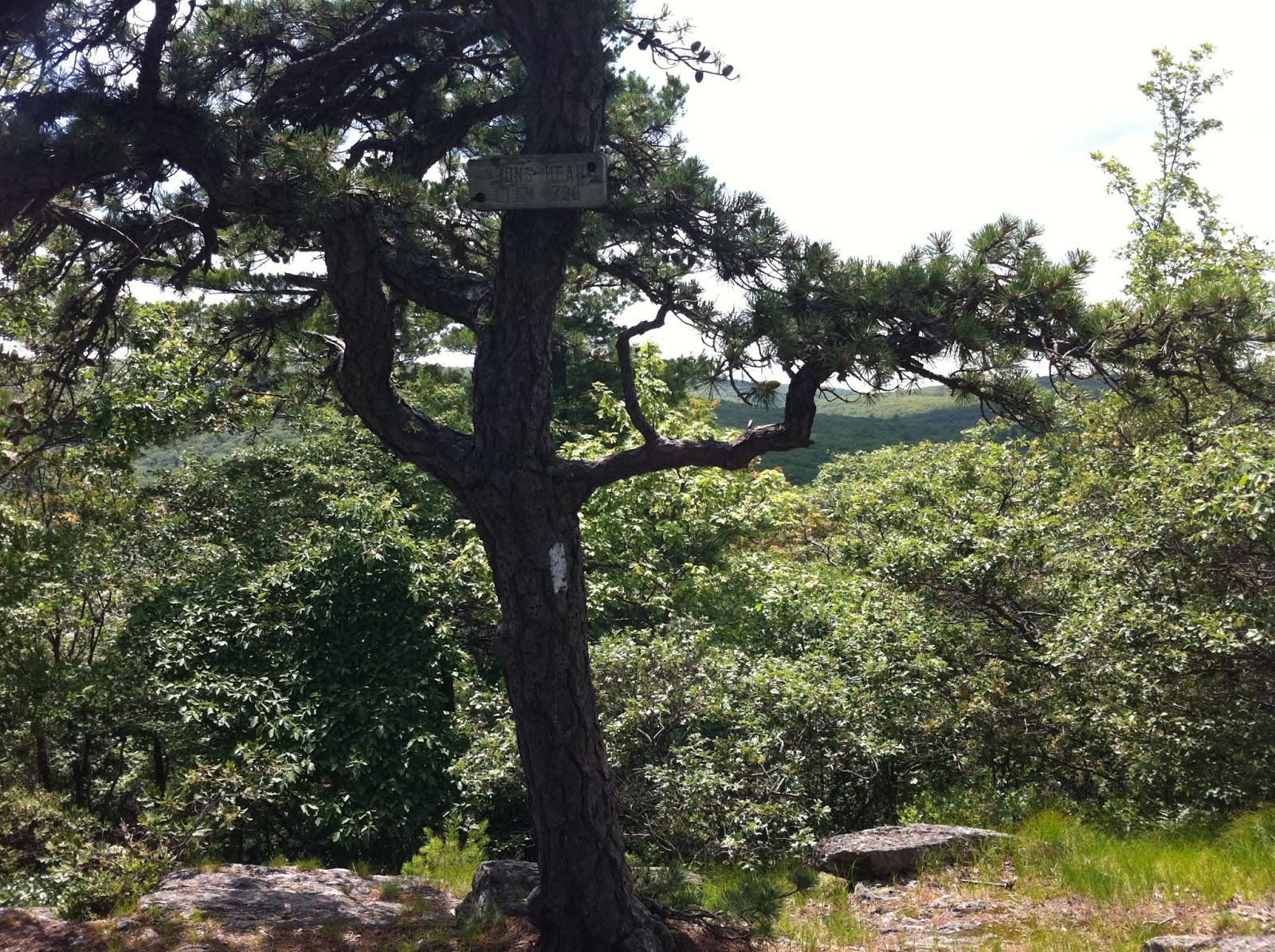
Mini cairn at the top of Fox Hill (off the trail).

Wigwam made out of tree bark and sticks.


Cross River


Wednesday, June 19, 2013

Putney Mountain, Putney, VT

June 16, 2013

Distance: 1.4  miles
Time: 39  minutes
Year to date miles: 147.1

Map: See book. There were also paper maps at the trail head.

Parking: Putney Mountain Road, Putney, VT. Book lists GPS coordinates. Room for 16 cars.

Restrooms: None

Post hike dinner: Brattleboro Food Coop, Brattleboro, VT

Directions: AMC's Best Day Hikes in Vermont We took the yellow blazed west cliff trail to the summit, and the white blazed ridge line trail back.

Notes: Very short and very easy. Minimal elevation gain. The summit is a flat area with view.
Kiosk before the trail head. Trail head is at the end of the parking lot.

We did a clockwise loop.

Blue trail to the summit.

Summit with mountain views


Taking a breather.


"Elephant" tree

Monday, June 17, 2013

Stowe Pinnacle, Stowe, VT

June 16, 2013

Distance: 3.7 miles
Time: 3 hours 7 minutes
Year to date miles: 145.7

Map: See book

Parking: Upper Hollow Road, just past Pinnacle Road, Stowe, VT. Room for around 10 cars. Book lists GPS coordinates. When we started the hike, there were only 2 other cars in the parking lot. When we left, there were 16 cars (continuing parking along the road).

Restrooms: None

Post hike dinner: Brattleboro Food Coop, Brattleboro, VT
Directions: AMC's Best Day Hikes in Vermont

Notes: Short mileage, but tough hike. This was our second attempt of this hike. On our first trip, we had to turn back due to thunder. This morning was cool, which helped. We hiked purposefully slowly so that we wouldn't exhaust ourselves. This hike starts with a nice level warm up. But then it goes up and up and up. No rock scrambling really, just unending uphill. The reward at the top made it worth it!

This hike had a ton of dogs on it. One of our books said that it is best to go on a weekday, unless your dog has impeccable social manners. One of mine doesn't, but we did the best we could.

I think that is our mountain. Glen said with a frown, it looks steep.

Trek walking through the buttercups

The beginning is level. The hike was very muddy.

Glen building with stone.

Adding the finishing rock

Turn right at the teepee

Intersection with the Pinnacle Meadows Trail. Continue straight.

Intersection with Ridge Trail. Turn right.

Trek and krummholz

Summit view. So many mountains left to hike!


Little girl with stick on big mountain


Windy summit makes for a bad hair day for the little girl