Saturday, January 26, 2013

Forest Resource Education Center, Jackson, NJ

January 26, 2013
Distance: 6.8 miles
Time: 3 hours 10 minutes

Map: FREC Map The map on the website isn't 100% accurate. This park is included in the NJ Pocket Ranger app, but the map is not included on the app. There is a map at the kiosk in the parking area, which does show one of the differences in the beginning of the hike (the yellow offshoot trail).

Parking: GPS Coordinates 40.082913, -74.328559, Pine Acres Drive, Jackson, NJ. The street looks like more of a driveway off of the road. There is room for around 4 cars. The trail starts at the end of the very short road. On the map, the parking area is shown as the yellow rectangle off of Bowman Road.

Restrooms: Porta Potty on trail near nursery, about halfway through the hike. Maybe at FREC building?

Post hike dinner: Via Roma (ask for separate vegan/vegetarian menu). They also have gluten free. Busy place.

Directions: Gone Hikin Blog We studied the directions from the blog & compared them to the map. We couldn't figure them out. However, we followed the directions (ignored the map), and we had no problems at all. Not all of the trail signs matched the map. For example, there is a yellow offshoot loop trail near the beginning, not marked on the map. We printed the map on 8 1/2 x 11, in color, but it really needed to be enlarged to see the details better.  Also, turns are indicated by 3 blazes not 2. This didn't make sense to us at first, because 3 blazes usually indicates a trailhead, and 2 blazes a turn.

Notes: It was a cold windy day. The pines didn't provide much protection from the wind. We only saw a couple of other hikers today. I'm guessing you'd meet a lot more people in the summer. The area around the FREC has lot of informational kiosks - it looks like a place where they might offer outdoor/environmental education for kids. This hike was FLAT! It just doesn't get much flatter than this. There was around an inch of snow, and hiking was easy. We did see cross country ski tracks - I guess this would be a great place to ski for beginners.

There are 2 paved street crossings (Don Connor Blvd both times). Otherwise, not too bad. We did see a truck driving down the FREC driveway (twice). And the bridge mentioned in the directions is a gravel road (no sign of cars though, and it was snow covered).

Year to date miles: 17.4


Parking area. There was only 1 other person here when we arrived, and he was just leaving.
Map at kiosk. This doens't match the online map. Not sure what the duct tape represents. But we kept to the left on the yellow trail.
Area near the FREC and nursery.
There were a lot of turns on this hike. We had to check the directions regularly. Trek is bored.
FREC building in the background.
Short loop trail.
Next to the nursery.
We managed to stay plenty warm except for our faces.
No bees today.
We cross a bridge over the Toms River twice.

Sunday, January 13, 2013

Inspiration Point Loop, North South Lake

January 12, 2013
Distance: 4.9 miles
Time: 3 hours 30 minutes
Map: Catskill Trails Map Set

Parking: Scutt Road. Room for around 10 cars. The road doesn't have a sign. It is past Laurel House Road, and immediately before the gatehouse.

Restrooms: None
Post hike dinner: None

Directions:
From parking lot, cross street. Follow blue blazed ES trail. Cross woods road (site of previous railroad). Cross bridge. Turn right onto blue blazed Escarpment Trail. At Layman Monument, trail turns sharply left. Walk along ridge. Pass yellow blazed trail on left. Pass Sunset Rock and Inspiration Point (both have signs). Pass yellow blazed trail on left, then red blazed Harding Road trail on right. At major intersection (detour to see South Mountain/Kaaterskill Hotel site possible - we skipped as we were running out of daylight), turn left on red blazed Schutt Road trail. Turns into Blue blazed ES trail.

Notes: Foggy day which provided awesome views from Sunset Rock & Inspiration Point. Warm day, so we had a lot of slushy snow for snowshoeing. We only saw 4 people hiking today.

Year to date miles: 10.6

Sign at trailhead parking lot.
Parking lot
Parts of this hike are also used by riders.
Passing the railroad grade.
Bridge
We explored this abandoned house just off the trail past the bridge.
Heading towards Layman's Monument.
Approaching Layman's Monument.
Wait, where did the snow go? Now we are snowshoeing on water.
Walking along the ridge.
Fog over the mountain tops
Passing the yellow trail. We approach fog in the valley.
Heading towards Inspiration Point
Back to Scutt Road.
The detour to the hotel site is around here. We'll visit another time.
We saw large prints at the beginning/end of the trail. Much larger than my dog foot prints.
We were curious. Bear? Really big dog?

Saturday, January 12, 2013

Blackhead Mountain, Catskills

January 12, 2013
Distance: 5.7 miles
Time: 4 hours 15 minutes
Map: Catskill Trails Map Set

Parking: Snowplow turnaround (signs say don't block), Big Hollow Road. There is a parking lot beyond the snowplow turnaround, but a sign said the road is closed during the winter (starting November 1). There was enough snow that cars didn't park past the snowplow turnaround. Cars were parked in the snowplow turnaround - roads had been plowed already after all. We ended up parking on the road.
Restrooms: None
Notes: Catskill 3500 footer
Post hike dinner: Garden Cafe on the Green, Woodstock

Directions:
Continue straight along the road. Trailhead for the Black Dome Range Trail is straight ahead. Continue .6 miles. Bear right on red blazed trail, where yellow blazed Batavia Kill Trail leaves to the left. Continue 1.4 miles to saddle between Black Dome & Blackhead Mountain. Turn left onto yellow blazed Escarpment trail and hike .7 miles to summit. Return using same path. This is the easier route in winter.

Notes:
It was a really nice day, in the 40's. The day started out dreary, but the sun came out. There were tons of people hiking in this area today. We stopped and talked to most of them, including a friendly AMC group of 15 people that did all 3 peaks (Blackhead, Black Dome, Thomas Cole)! We didn't have quite that much energy or sunlight.

We found this approach up Blackhead much easier than from the other side. We did meet a couple of people who had come from the other side though, and didn't need crampons to do it.

Year to date miles: 5.7


Trailhead
There were no difficult stream crossings using this route
First junction where yellow trail splits to the left. Stay right.
Taking a breather.
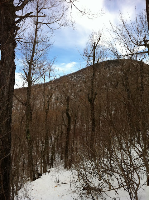
View of Blackhead
Saddle between Blackhead and Black Dome
Looking at Black Dome on the way up to Blackhead
Sign at summit
Hiking back down