Sunday, September 30, 2012

Colgate Lake to apple orchard and Dutcher Notch

September 29, 2012
Distance: 9.6 miles (can be shorted by just hiking to the apple orchard)
Time: 5 hours 9 minutes
Map: Catskill Trails Map Set
Parking: See directions link. Second parking lot on Colgate Road, East Jewett, NY. Room for 10 cars.
Restrooms: None
Post hike dinner: Garden Cafe on the Green, Woodstock
Directions: Colgate Lake to Dutcher Notch
Hike starts behind gate.
Trail is blazed with yellow discs.
All washed out bridges have been replaced.
Hike to intersection of blue blazed trail & return using the same route

Notes:
Both dog carried water. There was no need. There was water everywhere! The trail is very wet. The trail is pretty level, but at times is quite rocky, and the rocks are wet. Gaiters are recommended.

We didn't see a single person on this trail! Excellent for hiking with dogs. Colgate Lake (a short drive down the road from the parking lot) looks like it would be a great place for a post-hike swim with the dogs.

We did miss a turn within the first mile, and ended up at the stream in a different place (no bridge to cross it). We walked around searching for the trail on the other side, before we decided to retrace our steps. When we did so, we found where we lost the trail. Otherwise, we had no problems. There are woods roads/logging roads in the area, so it is possible to take one accidentally. The trail is clearly marked though.

This trail is mostly in the woods, but at points there are views (beginning of the hike at meadow crossing), large bog just off the trail, and the apple orchard. We did see several birds - grouse we believe. Butterflies & bears are supposed to be common as well.

The apples weren't doing well this year - the ones we found were small and didn't look ripe.

Year to date miles: 295.1


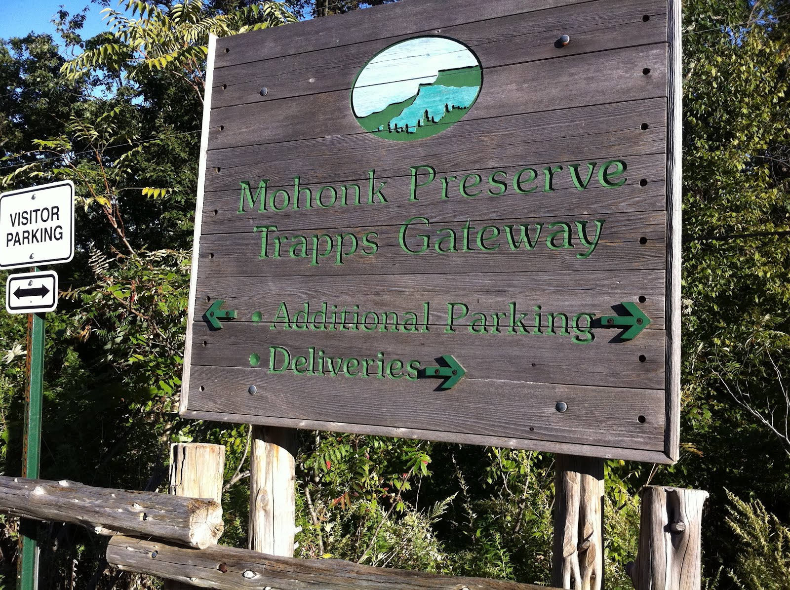
Sign for the parking area
Parking area. Trail starts behind the gate. Foliage on the mountains in the background are at their peak.
Misty/drizzly day though, so it didn't come out in our photos.
Crossing the meadow at the beginning of the trail.
Beautiful foliage at higher elevations.
Registration area at the end of the meadow. The trail enters the woods at this point.
This is where we missed our turn. Clearly marked, but our heads must have been down. Straight ahead is a woods road, so we didn't realize we missed the turn until we hit the stream crossing with the missing bridge.
First stream crossing with a brand new bridge.
Sign after the bridge crossing.
Walking through the woods. The ferns are starting to yellow.
The trail is very, very wet in spots.
This is a large bog - a few feet off the trail. The colors on the mountains in the distance were beautiful.
The tops of the mountains are under clouds (drizzly day).
Another brand new bridge.
Meadow with apple orchard. Their is a herd path through the field.
Camping area
We only found one tree with apples.
They were pretty small & green.
Small falls on the side of the trail
Intersection just past Dutcher Notch.

Monday, September 17, 2012

Millbrook Mountain via Millbrook Ridge Trail

September 16, 2012
Distance: 8.1 miles
Time: 4 hours 35 minutes
Map: Shawangunk Trails
Parking: the parking lot specified by the directions was full, so we parked at the visitor center, about 1 mile from where we planned to start. There is a $12 fee for day hiking (they give you a wristband). They also offer an annual pass for $55.
Restrooms: Porta potties in parking lot
Post hike dinner: Karma Road, New Paltz (vegan)
Directions: Millbrook Mountain

Year to date miles: 285.5

Parking lot at the visitor center. Stop at the visitor center to get your day hiking pass.
We walked along the road - to get to the Trapp parking lot. It isn't a nice road walk - there were a lot of fast moving cars. It turns out it wasn't necessary. You can walk to the end of the parking lot, and take a set of stairs to a connector trail.
The hike starts at the bridge. There is a path from the road up to the bridge.
Hoola-hooping human sign
At the bridge, walk briefly on the Trapps Road (carriage road).
Very soon, turn left onto the blue blazed Millbrook Ridge Trail.
The very beginning has some easy rock scrambline. The trail goes through an area of pitch pines.
Catskills in the background.
Stay on the blue blazed Millbrook Ridge Trail all the wy to the summit.
This peak had no name (as per Peakfinder)
Glen looking down - 300 foot drop off.
The weather is getting cooler, but the dogs were still hot.
Millbrook Mountain summit photo
This bird seems to stalk hikers! Moxie barked at it.
The return trip was on a more gradual trail, but was less scenic.
We passed an area with several cairns.
The end of the hike is on a gravel carriage road. Once we got to the bridge, rather than walking on the trail, we crossed the bridge and turned right. Along this carriage road, we saw probably 100 rock climbers. It seems to be where they go. At some point there is a connector trail to the right to return to the parking area. The connector trail is a steep rock staircase down to the road.

Sunday, September 16, 2012

Timp-Torne/Dunderberg Spiral Railway/R-D Trail Short Loop from Route 9W

September 15, 2012
Distance: 4.0 miles
Time: 3 hours 4 minutes
Map: Harriman - Bear Mountain Trails
Parking: Large gravel lot, enough room for 30 or so cars
Restrooms: none
Post hike dinner: Jewel of Himalaya, Yorktown Heights
Directions: Timp-Torne/Dunderberg Spiral Railway/R-D Trail Short Loop from Route 9W

Notes:
Parts of this trail is broken rocks (from railroad construction). This is hard for both people & dogs to walk on. The beginning of the hike has views of the Hudson River and Indian Point (nuclear power plant). I found the R-D trail the most scenic part of the hike. Sometimes it was hard to follow this hike - it goes partly on unblazed woods trails.

Year to date miles: 277.4

Parking lot. The trail starts past the parking lot - there is a very short walk beside the road - maybe a 100 feet.
Trailhead. The beginning of the trail had trees choked with weeds.
Remains of the uncompleted railroad
View of the Hudson
Short detour - this was not the right way
Intersection with the R-D trail
View while I was lying down on a rock stretching.
Starting to see a little fall color
We had a couple of birds circling us at a viewpoint
View of the Bear Mountain Bridge
View of Indian Point :(
Very short side trail to a view