Friday, June 22, 2012

Fir Mountain Attempt, Catskills

June 17, 2012
Distance: 5.5 miles
Time: 4 hours 8 minutes
Map: Catskill Trails Map Set
Parking: See directions link
Restrooms: None
Notes: Catskill 3500 footer, bushwhack
Post hike dinner: Garden Cafe on the Green, Woodstock
Directions: Fir Mountain

Notes:
This is a bushwhack. The bushwhack (based on the directions we used) starts near the lean to.
We didn't understand where to start the bushwhack, and we ended up following the wrong spur of the stream. We turned back, and figured out where we should start the bushwhack the next time we attempt this hike.
Parking area

We headed to the lean to and crossed the stream there. We should have stayed right on the trail.
Lean to
The lean to had a number of cooking tools, including this knife.
Cooling off

Checking out where we should have gone off trail...

Parking area


Year to date miles: 209.4

Tuesday, June 19, 2012

West Kill Mountain, Catskills

June 16, 2012
Distance: 6.7 miles
Time: 5 hours 21 minutes
Map: Catskill Trails Map Set
Parking: See directions link
Restrooms: None
Notes: Catskill 3500 footer
Post hike dinner: Yum Yum Noodle Bar, Woodstock
Directions: West Kill Mountain

Notes: We met several groups of people on this hike.
Moxie started getting spooked by some people & barked at them, so we started putting her on leash when we approached others - that took care of the problem. Other people she went up to for petting.

At the very end of Spruceton Road there is a parking lot which only holds 4 cars. Just a little ways up the road is another larger parking lot, where we parked. There are blazes on Spruceton Road leading towards the trailhead.

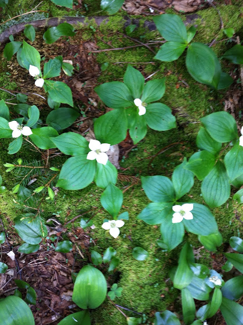
The trail follows a shallow creek near the beginning. It was hard to keep the dogs out of it.
The falls are worth a visit - pretty rock overhangs. The bridge at the falls is washed out, but the creek crossing wasn't difficult.

After the falls, turn right on the Devil's Path (known for its difficulty), where the trail becomes steeper.

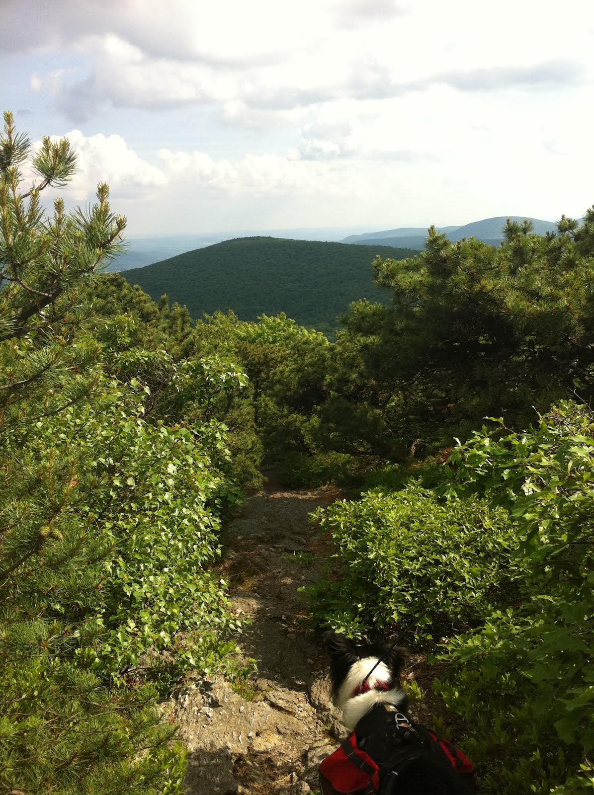
The best views are from the Buck Ridge Lookout, just below the summit. We used our PeakFinder app to identify mountains we could see - which included Blackhead, Black Dome, and Thomas Cole, all mountains we have hiked.

There was a cairn at the summit.
Larger of the two parking lots, not quite at the end of Spruceton Road
A butterfly orgy in the mud at the parking lot
Its a short walk to the end of Spruceton Road.
Parking lot at the end of Spruceton Road. It as full when we arrived. Room for 4 cars.
Start of the trail
Signing in at the register.

The cave

Buck Ridge Lookout, just below the summit

West Kill summit

The bridge was washed away at West Kill Falls, so we crossed below the waterfall
Add caption


Site of washed out bridge above the falls

The trail passes smaller falls

Year to date miles: 203.9

Monday, June 11, 2012

MA Appalachian Trail - Section 10 - Race Brook Falls Trail to Mt Everett

June 10, 2012
Distance: 7.2 miles
Time: 5:09 hours

Map: South Taconic Trails or Mount Everett State Reservation

Parking: Parking lot on small pulloff, off Route 41 - enough for around 7 cars. It was full when we arrived. We tried the Berkshire School (different trailhead - saw no other hikers parking at this large private school, plus the parking across the street looked questionable, plus there would be a lot of walking to the trailhead from there). Ended up going back to our original parking area, where a space opened up.
Restrooms: Composting toilets at a campground, about 1.8 miles from the trailhead.

Directions: Mt Everett
Race Brook Falls Trail to end. Turn right (north) on AT to summit.

Post hike dinner: Salsa Fresca, Millerton, NY (no longer in business)


Trail head
The trail crosses this stream 3 times. The dogs were very happy!
Mountain laurel at its peak here. In southern NJ yesterday, it was past its peak.
Race Brook falls - much prettier in person. About 1 mile from the trail head.
Campsite
Tent platform

Bear box for food
The bear box is chained to a tree.
A very large cairn
View on the way to the summit
Taking a breather. Humid day.
Krummholz
View of Race Mountain. Saving this one for another day.
Mountain laurel
Base of a prior fire tower
Mt Everett summit marker
Limited view from the summit
Lynn, Trek, and Moxie, summit photo
Glen, summit photo.
Moxie on summit
Trek, summit - time for a water break
View from summit
Mount Race
Dead luna moth. They only live as adults for 7 days.
View on the way down from the summit.
Another view of the falls - very pretty in person
We tried to take the Lower Falls Loop Trail, but I think we ended up on a herd path - very steep.

Mini cairns
Back at the parking lot


Year to date miles: 197.2